

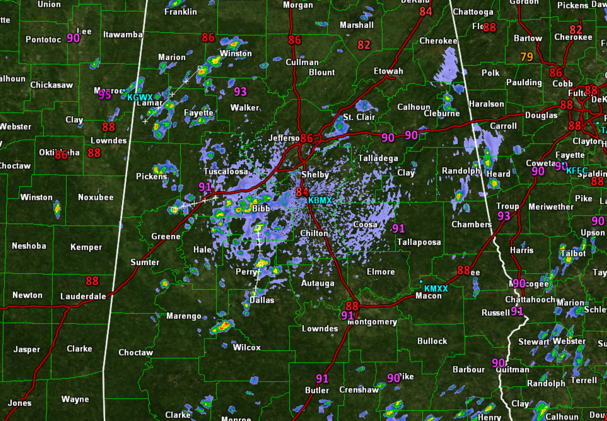
Midday Radar Check
We continue to be under a very moisture rich air mass across the state today. We are seeing a mix of sun and clouds, with very warm and humid conditions. As the atmosphere heats up, and instability builds, showers and storm begin bubbling up across the state. Looking at the radar, we are seeing scattered to numerous showers across the Alabama landscape.
There are a few storms mixed in with the showers, but overall we are just seeing showers. The general movement of today’s convection is towards the south. A weak frontal boundary is sagging south into the state, and that is also helping provide a little bit of extra uplift which is helping showers develop as well.
Heading through the rest of the afternoon, expect more of the same. A mix of sun and clouds, with showers and storms. Storms should continue into the evening hours before winding down once the daytime heating is lost.
Click image to enlarge.
Category: Alabama's Weather
About the Author (Author Profile)
Macon, Georgia Television Chief Meteorologist, Birmingham native, and long time Contributor on AlabamaWX. Stormchaser. I did not choose Weather, it chose Me. College Football Fanatic. @Ryan_StinnetSubscribe
If you enjoyed this article, subscribe to receive more just like it.


