

A Few Lingering Showers; Drier Air Tonight
An all new edition of the ABC 33/40 Weather Xtreme video is available in the player on the right sidebar of the blog. You can subscribe to the Weather Xtreme video on iTunes by clicking here.
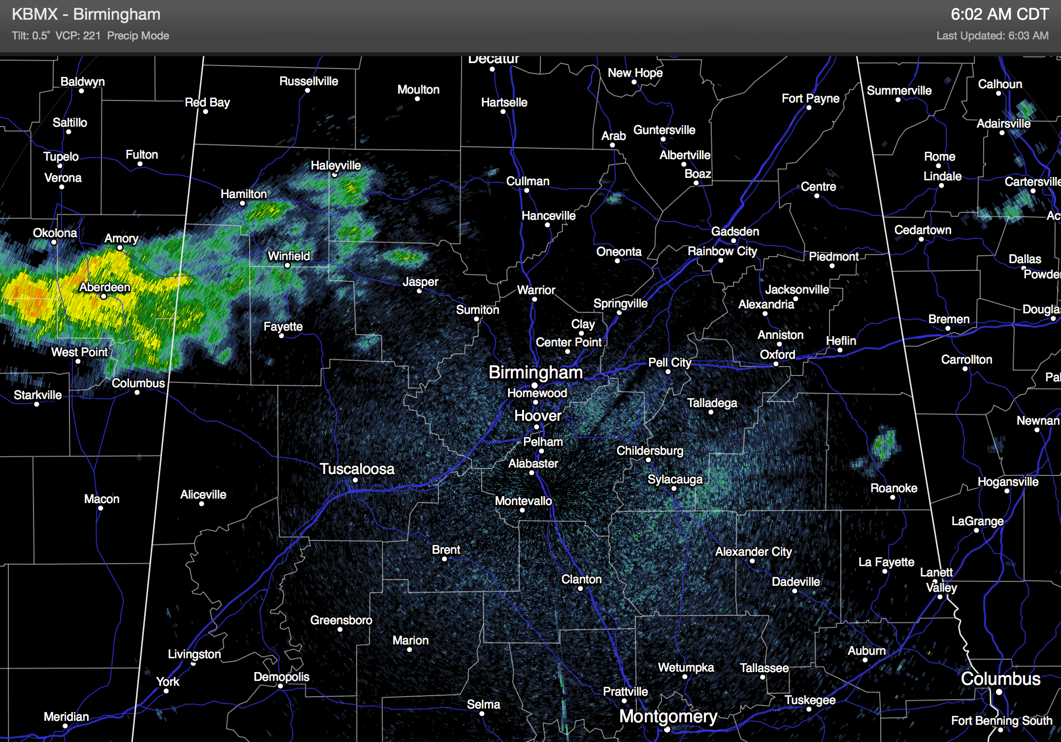
PATCHY FOG TO START THE DAY: A moist airmass is in place across much of Alabama this morning, and fog formed overnight, especially where rain fell yesterday. Some light rain has also moved into Northwest Alabama…
We will maintain the chance of some light rain, or a few showers today with most communities seeing a high in the mid 80s. We do expect a few intervals of sunshine later in the day.
Drier air arrives tonight, and that should set the stage for very nice weather for the rest of the week.
TOMORROW THROUGH FRIDAY: Expect mostly sunny days and fair pleasant nights; highs will be in the mid 80s on most days. The coolest morning will come early Thursday with upper 50s are possible as far south as Birmingham. Some of the cooler pockets over Northeast Alabama could see low to mid 50s.
We will keep an eye on a cold air damming (CAD) setup east of Alabama Friday; that might push some low clouds toward the Alabama/Georgia border, but for now we will keep a mostly sunny forecast statewide.
THURSDAY NIGHT FOOTBALL: Auburn will play a Thursday night special this week in Manhattan, Kansas against Kansas State (6:30p CT kickoff); we project a temperature of 77 degrees at kickoff with only a small risk (15-20 percent) of a shower during the first half. Temperatures will fall into the low 70s by the fourth quarter.
THE ALABAMA WEEKEND: Saturday will be a delightful day, with ample sunshine and a high in the mid 80s. Then, as the weekend wraps up, the 00Z GFS brings a cold front into the state Sunday night. This could push a showers into our state late Sunday afternoon or Sunday night… at the moment it doesn’t look like a big rain event, but we will have to keep an eye on the moisture from Tropical Storm Odile, now over Baja California. If by chance some of that gets ahead of the surface front, it might bring more than that we are seeing on models now.
The front should be south of here by midday Monday, and the first half of next week looks dry and pleasant. See the Weather Xtreme video for the maps, graphics, and more details.
TROPICAL WEATHER: Hurricane Edouard in the Central Atlantic is packing sustained winds of 110 mph, but it will recurve into the open Atlantic far from land. And, Odile was downgraded to a tropical storm over the Baja California peninsula last night as it moved northward. It will ultimately dissipate, but moisture from this will bring heavy rain and a significant flooding threat to parts of Arizona and New Mexico in coming days.
GULF COAST WEATHER: Expect a mix of sun and clouds today on the coast from Panama City over to Gulf Shores with scattered showers and storms; then mostly sunny days and fair nights tomorrow through the weekend with only very isolated showers. Highs will be in the mid to upper 80s, and the sea water temperature early this morning at the Dauphin Island Sea Lab is 87 degrees.
WEATHER BRAINS: Don’t forget you can listen to our weekly 90 minute netcast anytime on the web, or on iTunes. This is the show all about weather featuring many familiar voices, including our meteorologists here at ABC 33/40. Scroll down for the show notes on the new episode we recorded last night.
CONNECT: You can find me on all of the major social networks…
Facebook
Twitter
Google Plus
Instagram
I will be the emcee today at the annual Harvest of Hope banquet to benefit Oak Mountain Missions… look for the next Weather Xtreme video here by 4:00 or so this afternoon. Enjoy the day!
Category: Alabama's Weather
About the Author (Author Profile)
James Spann is one of the most recognized and trusted television meteorologists in the industry. He holds the AMS CCM designation and television seals from the AMS and NWA. He is a past winner of the Broadcast Meteorologist of the Year from both professional organizations.Subscribe
If you enjoyed this article, subscribe to receive more just like it.


