

Cold Front Arrives Friday
An all new edition of the ABC 33/40 Weather Xtreme video is available in the player on the right sidebar of the blog. You can subscribe to the Weather Xtreme video on iTunes by clicking here.
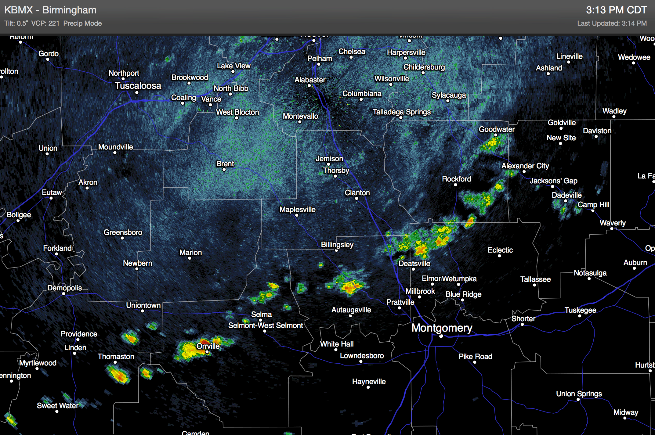
RADAR CHECK: A few showers are over Central Alabama this afternoon… from near Thomaston to Orrville to Billingsley to Alexander City… they are moving southeast…
There is a wide spread of temperatures, with 80s over West Alabama, and mostly 70s east of I-65.
TOMORROW/WEDNESDAY: Alabama’s weather will be warm and dry on these two days; with a good supply of sunshine we project highs in the mid 80s. Some West Alabama communities will see upper 80s on Wednesday, the first day of October, when the average high is 80 degrees (in Birmingham).
COLD FRONT LATE THIS WEEK: Low level moisture begins to return Thursday, and a few scattered afternoon showers are possible… but showers and storms are more likely late Thursday night and during the day Friday ahead of a well defined cold front. Seems like this has potential to bring much of the state around 1/2 inch of rain, with a few isolated amounts over one inch.
Thunderstorms are possible Friday ahead of the front, but parameters don’t seem to favor any signifiant severe weather risk across the Deep South. A decent chance the rain ends by the time high school football games begin Friday night.
THE ALABAMA WEEKEND: Could not be any better. A cool, dry airmass rolls into the state, and both days will feature sunshine in full supply with highs in the 70s, and lows well down in the 50s. Many communities across North/Central Alabama could very well see upper 40s at daybreak Sunday.
Dry weather continues into early next week with just a slow day to day warming trend. See the Weather Xtreme video for the maps, graphics, and more details.
TROPICS: A low pressure center is near Bermuda, in the Atlantic, and is moving northeast. Development is not expected there, and the rest of the Atlantic basin is quiet.
AT THE BEACH: Mostly sunny and warm weather is likely tomorrow and Wednesday from Panama City west to Gulf Shores with highs in the 80s. A few scattered showers and storms are possible Thursday, with showers and storms becoming more numerous Friday. Then, a picture perfect weekend is ahead on the coast with sunny days, fair nights, and highs around 80 degrees.
WEATHER BRAINS: Don’t forget you can listen to our weekly 90 minute netcast anytime on the web, or on iTunes. This is the show all about weather featuring many familiar voices, including our meteorologists here at ABC 33/40. We will produce this week’s show tonight at 8:30 CT… you can watch it on “James Spann 24/7” on cable systems around the state, or on the web here.
CONNECT: You can find me on all of the major social networks…
Facebook
Twitter
Google Plus
Instagram
I enjoyed seeing the 6th graders today at Clanton Middle School… be looking for them on the Pepsi KIDCAM today at 5:00 on ABC 33/40 News! The next Weather Xtreme video will be posted here by 7:00 a.m. tomorrow…
Category: Alabama's Weather
About the Author (Author Profile)
James Spann is one of the most recognized and trusted television meteorologists in the industry. He holds the AMS CCM designation and television seals from the AMS and NWA. He is a past winner of the Broadcast Meteorologist of the Year from both professional organizations.Subscribe
If you enjoyed this article, subscribe to receive more just like it.


