

Scattered Storms Through Tomorrow
An all new edition of the ABC 33/40 Weather Xtreme video is available in the player on the right sidebar of the blog. You can subscribe to the Weather Xtreme video on iTunes by clicking here.
RADAR CHECK: One strong storm earlier today developed over Calhoun County, producing small hail north of Anniston at places like Weaver; that storm is well into Georgia, and moving away. However, new storms have fired up over Northwest Alabama, and hail has also been reported in Marion County.
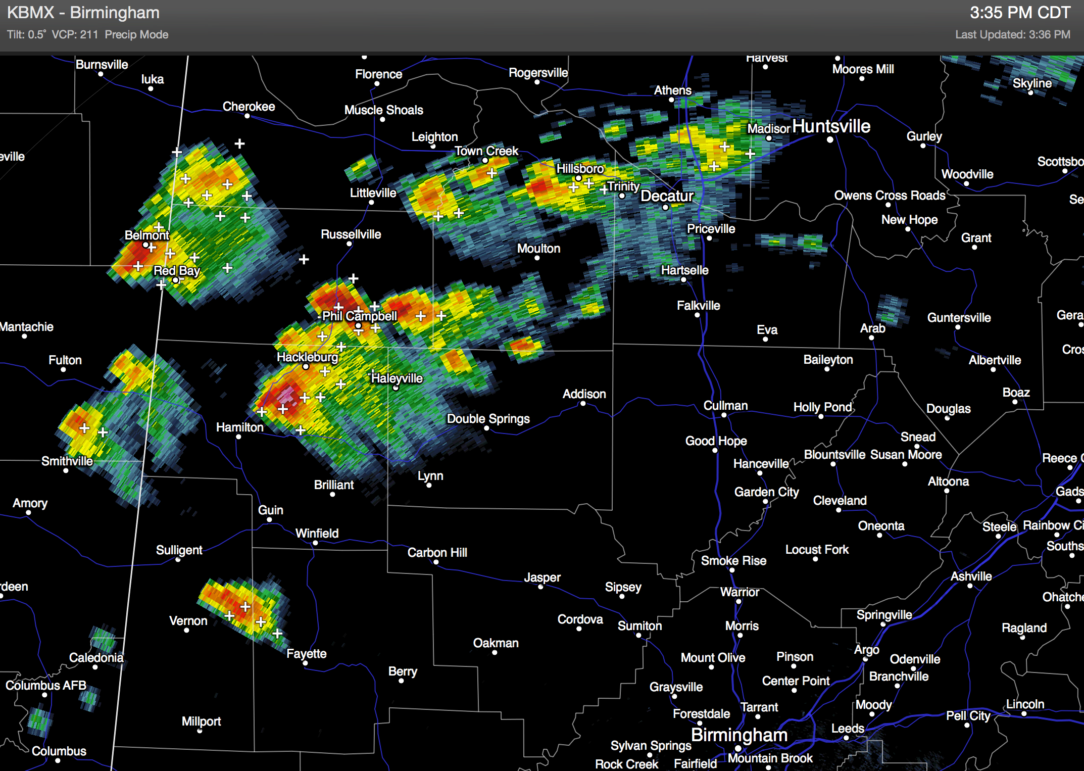
The storms are moving east/northeast, and due to very cold air aloft (500 mb temperatures down to -15C), hail is very possible in the stronger storms for the next several hours. SPC maintains the standard “slight risk” of severe weather for North Alabama due to this potential. Storms should weaken later tonight as the air becomes more stable.
TOMORROW: Another wave will rotate down the back side of the big upper trough over the eastern U.S., and we will need to keep the risk of scattered storms in the forecast. The high resolution NAM suggests the highest coverage of storms will actually come during the morning hours, but they are possible basically at any time during the day; the high will be in the 77-80 degree range with the sky occasionally cloudy.
WEDNESDAY THROUGH FRIDAY: These three days will be warm with highs up in the low to mid 80s. We can’t rule out a shower or storm on any day, but they will be widely spaced, and mainly over the northern third of the state. An approaching cold front will push an organized band of showers and storms into North Alabama Friday night, but that front will stall out somewhere around the Alabama/Tennessee border.
THE WEEKEND: The stalled front will be just north of here, meaning some risk of at least scattered showers and thunderstorms Saturday and Sunday, with the best coverage along and north of I-20. This won’t be a continuous rain, and not a “wash out”, but if you have outdoor plans just be aware some rain is very possible at times. Our highs will be in the 77 to 81 degree range. South Alabama looks mostly warm and dry for the weekend.
See the Weather Xtreme video for the maps, graphics, and more details.
TROPICS: The Atlantic basin remains quiet, and tropical storm formation is not expected this week. We do note there has been some consistency in the idea of a tropical system forming near the Yucatan coast in about 6-8 days, with a northward motion into the Gulf of Mexico. Way too early to know if this happens at all; see the video for more details.
NATIONAL SHRIMP FESTIVAL: The weather could not be better for the big event at Gulf Shores; look for sunny warm days, and fair pleasant nights Thursday through Sunday with only a small risk of a shower Sunday afternoon. Highs in the 80s; lows in the 60s. Sea water temperatures are in the 78-81 degree range.
WEATHER BRAINS: Don’t forget you can listen to our weekly 90 minute netcast anytime on the web, or on iTunes. This is the show all about weather featuring many familiar voices, including our meteorologists here at ABC 33/40. We will produce this week’s show tonight at 8:30 CT… you can watch it on “James Spann 24/7” on cable systems around the state, or on the web here.
CONNECT: You can find me on all of the major social networks…
Facebook
Twitter
Google Plus
Instagram
I had a great time today visiting the 1st graders at Vestavia Hills Elementary Liberty Park… be looking for them on the Pepsi KIDCAM today at 5:00 on ABC 33/40 News! The next Weather Xtreme video will be posted here by 7:00 a.m. tomorrow…
Category: Alabama's Weather
About the Author (Author Profile)
James Spann is one of the most recognized and trusted television meteorologists in the industry. He holds the AMS CCM designation and television seals from the AMS and NWA. He is a past winner of the Broadcast Meteorologist of the Year from both professional organizations.Subscribe
If you enjoyed this article, subscribe to receive more just like it.


