

Freezing Temps Possible By The Weekend
**No afternoon Weather Xtreme video today; I am live at the opening night of “Disney on Ice” at the BJCC; part of tonight’s proceeds will go to our annual Toys for Tots campaign**
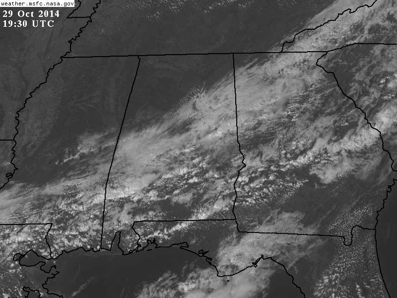
CLEARING: The clearing process is proceeding on schedule; much of North Alabama is enjoying blue sky and sunshine, and the clouds to the south will be gone soon.
Temperatures, as expected, are cooler with readings mostly in the 60s.
Tomorrow will be a sunny day with high in the upper 60s.
FRIDAY AND THE WEEKEND: The coldest air so far this season will drop into the Deep South. North winds will pick up late Friday afternoon and Friday night, gusting to 25 mph at times. Temperatures will plunge quickly Friday night, and we project a low between 30 and 35 degrees at daybreak Saturday.
Clouds will invade the northeast part of Alabama Friday night, and a sprinkle or two is not out of the question as the cold air rushes into the state.
Saturday and Sunday will be cool, but dry with a mostly sunny sky both days. The high Saturday will be only in the low 50s, and some communities north of Birmingham won’t get out of the 40s with a cool north wind of 10-20 mph.
Sunday morning will feature another freeze in many places, with a low between 28 and 34. Widespread frost is likely early Sunday with a clear sky and light wind. The high Sunday will be in the upper 50s.
FOOTBALL WEATHER: For Friday night’s high school games, it will be windy and sharply colder with temperatures falling through the 40s. North winds will gust to 25 mph at times, making it feel colder. A few sprinkles are possible over Northeast Alabama.
Auburn will be on the road; they play at Ole Miss in Oxford Saturday evening (kickoff 6p CT). The sky will be clear, temperatures will fall from 48 degrees at kickoff down to near 40 degrees by the fourth quarter. A perfect cool, crisp night for football.
UAB is also on the road; they play at Florida Atlantic in Boca Raton, FL Saturday evening (5p CT kickoff). Again, a clear sky is likely with temperatures falling from near 80 at kickoff to the mid 70s by the fourth quarter.
NEXT WEEK: Expect a slow warming trend, and some rain is possible by mid-week, but model guidance is keeping the heavier and most widespread rain west of Alabama.
TROPICS: A disturbance just northeast of the Leeward Islands could develop slowly in coming days, but it is moving north, and will not impact the U.S.
GULF COAST WEATHER: A few showers are likely on the coast this afternoon from Panama City over to Gulf Shores, but expect sunny days and clear nights tomorrow through the weekend. It will be sharply colder on the coast Saturday and Sunday with highs around 60, and lows in the upper 40s.
WEATHER BRAINS: Don’t forget you can listen to our weekly 90 minute netcast anytime on the web, or on iTunes. This is the show all about weather featuring many familiar voices, including our meteorologists here at ABC 33/40.
CONNECT: You can find me on all of the major social networks…
Facebook
Twitter
Google Plus
Instagram
I enjoyed seeing the senior adults today at Southside… look for the next Weather Xtreme video here by 7:00 a.m. tomorrow…
Category: Alabama's Weather
About the Author (Author Profile)
James Spann is one of the most recognized and trusted television meteorologists in the industry. He holds the AMS CCM designation and television seals from the AMS and NWA. He is a past winner of the Broadcast Meteorologist of the Year from both professional organizations.Subscribe
If you enjoyed this article, subscribe to receive more just like it.


