

Gorgeous Sunday
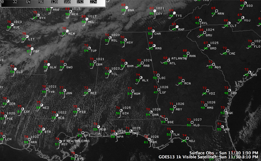
Today dawned cloudy across Central Alabama, but the clouds quickly thinned into a nice field of stratocumulus and then cleared completely. Temperatures have warmed nicely into the lower 70s across much of the area, indeed across the entire state. Clouds are massing to our northwest ahead of a cold front and those clouds will overspread the area tonight and additional low clouds will fill in like last night. Lows will be in the lower 50s over the west and upper 40s over eastern sections of Alabama.
WHEREFORE ART THOU GOING, COLD FRONT? A pretty strong cold front is approaching the Missouri Bootheel this afternoon. At 3 p.m., it was 70F at Harrison AR. Meanwhile, just across the front it was 36F at Chanute, KS, a distance of less than 90 miles! The front will reach Northwest Alabama around noon tomorrow and slow its forward progress, reaching the I-20 corridor by Tuesday morning. The front will stall there and wash out. There will be a chance of showers on Monday with a slight chance lingering into much of Tuesday as the front falls apart. Highs will be in the upper 70s and lowers will in the upper 40s.
Category: Alabama's Weather
About the Author (Author Profile)
Bill Murray is the President of The Weather Factory. He is the site's official weather historian and a weekend forecaster. He also anchors the site's severe weather coverage. Bill Murray is the proud holder of National Weather Association Digital Seal #0001 @wxhistorianSubscribe
If you enjoyed this article, subscribe to receive more just like it.


