

Much Colder Air Arrives Thursday
An all new edition of the ABC 33/40 Weather Xtreme video is available in the player on the right sidebar of the blog. You can subscribe to the Weather Xtreme video on iTunes by clicking here.
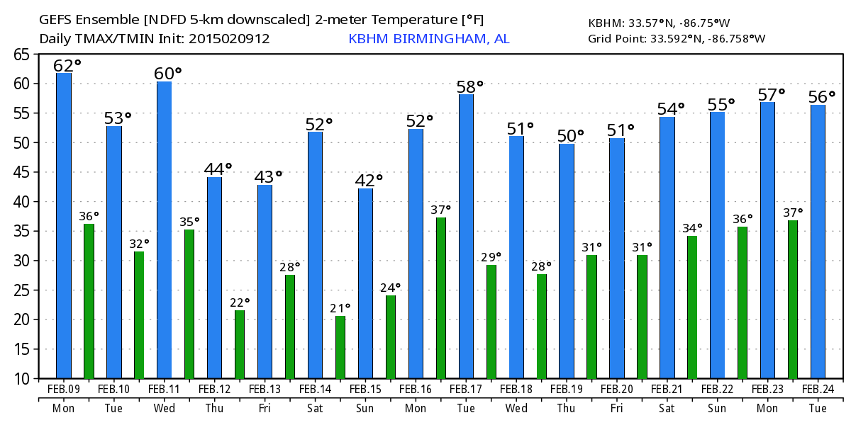
PLEASANT AFTERNOON: We actually have a few isolated showers near the Georgia border, but elsewhere dry air is working into the state with some sunshine at most locations. The air north of Birmingham is much colder; Haleyville reports only 48 degrees at 2:00, while Birmingham was at 63 and Tuscaloosa was enjoying 69 degrees. The cooler air will overspread the state tonight as the sky becomes clear.
TOMORROW AND WEDNESDAY: These days will be dry with a good supply of sunshine; tomorrow will be cooler with a high in the low 50s. Then, we rise into the low 60s Wednesday, which should be the nicest day of the week.
COLD AIR BLOWS IN THURSDAY: A cold front will pass through in dry fashion early Thursday morning; the day Thursday will be cold and blustery, with a partly sunny sky and a high only in the low 40s. Some communities north of Birmingham might have a hard time getting out of the 30s.
Friday morning will feature a very significant freeze, with a low in the 17-22 degree range. The day Friday will be cold and dry with a sunny sky and a high in the mid 40s.
ANOTHER COLD SHOT SUNDAY: Saturday will be a sunny day with a high in the upper 40s, but another shot of very cold, Arctic air arrives Saturday night, and by early Sunday morning we are now projecting lows between 12 and 17 degrees across North/Central Alabama. Despite sunshine in full supply, we will barely get above the freezing mark Sunday afternoon with a high in the mid 30s.
NEXT WEEK: We begin to warm up a bit Monday with a high back in the 40s, and the next chance of rain will come on Tuesday. See the Weather Xtreme video for the maps, graphics, and more details.
FIRST ALERT STORM TEAM TOUR: Our annual severe weather awareness tour across Alabama rolls along; we will be in Winfield tomorrow evening. Just drop by anytime from 4:00 until 6:30… you can watch me do weather live on ABC 33/40, get some free stuff to take home, and have a chance to win several NOAA Weather Radios we will be giving away. If you need your weather radio programmed or checked, bring it by and we will be glad to help.

WEATHER BRAINS: Don’t forget you can listen to our weekly 90 minute netcast anytime on the web, or on iTunes. This is the show all about weather featuring many familiar voices, including our meteorologists here at ABC 33/40. We will produce this week’s show tonight at 8:30 CT… you can watch it on “James Spann 24/7” on cable systems around the state, or on the web here.
CONNECT: You can find me on all of the major social networks…
Facebook
Twitter
Google Plus
Instagram
I enjoyed seeing 6th and 7th graders at Helena Middle School this morning… along with the 3rd graders at Rock Quarry Elementary in Tuscaloosa… Look for the next Weather Xtreme video here by 7:00 a.m. tomorrow…
Category: Alabama's Weather
About the Author (Author Profile)
James Spann is one of the most recognized and trusted television meteorologists in the industry. He holds the AMS CCM designation and television seals from the AMS and NWA. He is a past winner of the Broadcast Meteorologist of the Year from both professional organizations.Subscribe
If you enjoyed this article, subscribe to receive more just like it.


