

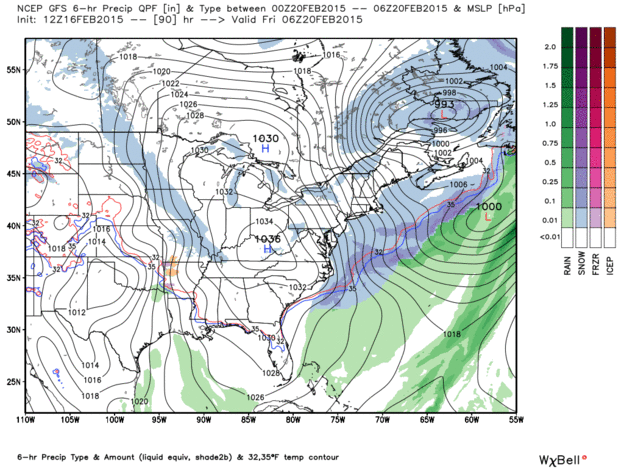
Quick Check of 12Z Model Runs…For Friday
Here is an animation of what the GFS run from this morning is saying about Friday’s potential winter storm.
The European is warmer and less bullish on the idea of any freezing or frozen precip. The solid blue line is the critical 540 thickness line which is the usual rain/snow dividing line. As you can see, the protracted rainfall event is out before that happens.
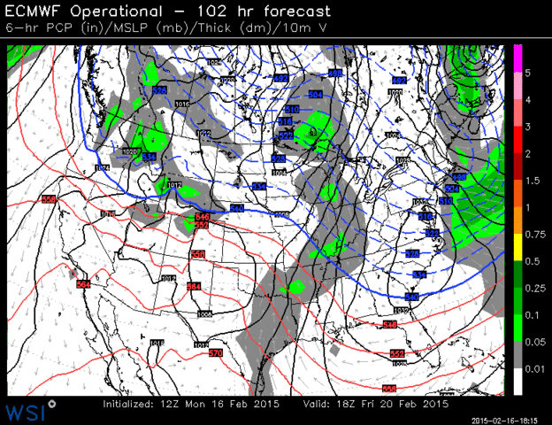
But there are some signs on the raw data that a shallow cold air mass could creep in at the end and make for a freezing rain event as a final disturbance slides by.
Here is the 192 hour forecast form the European:
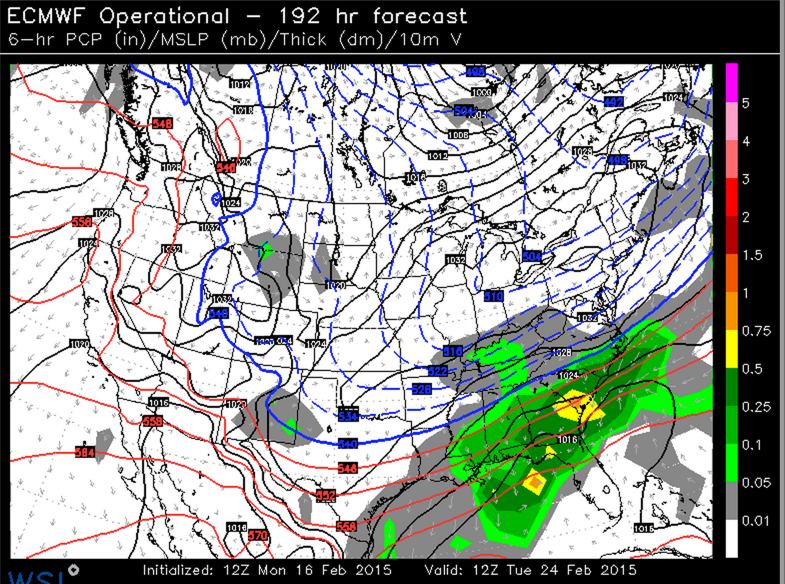
So winter may have another trick or two up its sleeve. We will just have to wait and see.
ALABAMA POWER IS READY, ARE YOU? Our friends at Alabama Power are monitoring the forecast closely, ready to deploy people and assets to quickly address any outages that might occur. Read a special message from Ike Piggot about their commitment to their customers.
Category: Alabama's Weather, Winter Weather
About the Author (Author Profile)
Bill Murray is the President of The Weather Factory. He is the site's official weather historian and a weekend forecaster. He also anchors the site's severe weather coverage. Bill Murray is the proud holder of National Weather Association Digital Seal #0001 @wxhistorianSubscribe
If you enjoyed this article, subscribe to receive more just like it.


