

Patchy Ice Tonight/Early Tomorrow
An all new edition of the ABC 33/40 Weather Xtreme video is available in the player on the right sidebar of the blog. You can subscribe to the Weather Xtreme video on iTunes by clicking here.
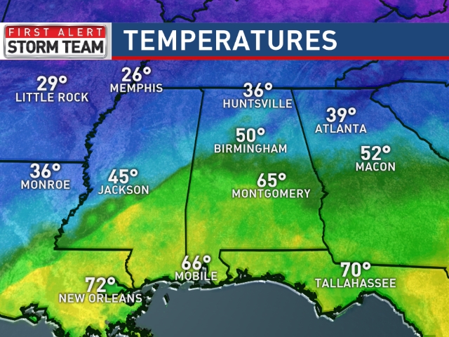
RADAR CHECK: Widespread rain is falling across North and Central Alabama this afternoon; a few strong storms are even possible this evening over the southern half of the state, where temperatures have surged into the 60s.
TONIGHT: As the rain tapers off tonight, it could change to freezing rain or sleet, and maybe even a snow flake or two before ending. Temperatures will fall quickly as a secondary push of cold air moves into the state, and we should be below freezing by midnight. With the potential of a little freezing rain, and the standing water left over from today’s big rain event, that will open up the potential for icy patches on bridges and some black top roads.
TIMING: Temperatures are barely above freezing now over Northwest Alabama, and they drop below 32 by 6:00 p.m. Gadsden will drop below freezing by 8:00 p.m.. and for Birmingham, Tuscaloosa, and Anniston, sub-freeing temperatures are likely by 9-10 p.m. Temperatures will go above freezing by mid-morning tomorrow.
IMPACT: If you are driving tonight or tomorrow morning, just understand there will be patchy “black ice” on bridges and some black top roads. I don’t think it will be especially widespread, but there will clearly be some ice around. Be careful out there.
TOMORROW/WEDNESDAY: Tomorrow will be cold and dry; maybe a peek or two of sun through the clouds with a high around 40. We will mention the risk of a few snow flurries Wednesday with no impact, the day will be mostly cloudy, and again the high will be close to 40 degrees.
INTO THE DEEP FREEZE THURSDAY: Some of the coldest air so far this winter will arrive Wednesday night. The 12Z GFS is printing a low of 11 for Birmingham Thursday morning, and a high of only 31. No risk of snow or ice; the sky Thursday will be sunny.
WINTER WEATHER MISCHIEF FRIDAY: Global models bring the next wave in the southern branch of the jet stream through Alabama Friday, and with cold air in place that opens the door for another potential of wintry weather issues. There is no way to resolve specific details this far out; but due to the shallow nature of the cold air, if we have problems it would most likely be due to freezing rain or sleet as opposed to snow.
Timing, impact, and precipitation type just can’t be forecast now. If models trend warmer, it could be like today with more rain here and the ice issues to the north. Stay tuned.
THE ALABAMA WEEKEND: Expect clouds, some rain, and a warming trend. We will see a high around 50 Saturday, and close to 60 Sunday. Saturday looks wet at times over the northern half of the state, with a small risk of rain Sunday.
Take some time to see the Weather Xtreme video for maps, graphics, and more details.
WEATHER BRAINS: Don’t forget you can listen to our weekly 90 minute netcast anytime on the web, or on iTunes. This is the show all about weather featuring many familiar voices, including our meteorologists here at ABC 33/40. We will produce this week’s show tonight at 8:30 CT… you can watch it on “James Spann 24/7” on cable systems around the state, or on the web here.
CONNECT: You can find me on all of the major social networks…
Facebook
Twitter
Google Plus
Instagram
Look for updates through the night, and the next Weather Xtreme video will be posted here by 7:00 a.m. tomorrow…
Category: Alabama's Weather
About the Author (Author Profile)
James Spann is one of the most recognized and trusted television meteorologists in the industry. He holds the AMS CCM designation and television seals from the AMS and NWA. He is a past winner of the Broadcast Meteorologist of the Year from both professional organizations.Subscribe
If you enjoyed this article, subscribe to receive more just like it.


