

Into The Deep Freeze Thursday
An all new edition of the ABC 33/40 Weather Xtreme video is available in the player on the right sidebar of the blog. You can subscribe to the Weather Xtreme video on iTunes by clicking here.
ICY PATCHES: Just a reminder we are well below freezing this morning, and any standing water from the big rain yesterday and last night will be ice, so take it easy as you drive. Temperatures will go above freezing by mid-morning, and we project a high in the low 40s today.
SNOW FLURRIES/SHOWERS TOMORROW? A disturbance in the northern branch of the jet will bring the chance of a flurries or snow showers to North Alabama tomorrow morning. These traditionally don’t bring too many problems and little impact, but some of the heavier snow showers could make the ground white, especially over the Tennessee Valley of far North Alabama. Travel impact is not likely, although we will watch for heavier snow showers that form. Best chance of flurries or snow showers will come from about 5:00 a.m. until 11:00 a.m. Otherwise, tomorrow will be mostly cloudy and cold with a high between 42 and 45 degrees.
INTO THE DEEP FREEZE THURSDAY: Arctic air arrives tomorrow night, and by Thursday morning we project a low in the 12-17 degree range across North/Central Alabama. The GFS is printing a low of 12 for Birmingham early Thursday. Thursday will be sunny, but we stay below freezing most all day with a high in the low 30s. It will be one of the coldest days of the winter.
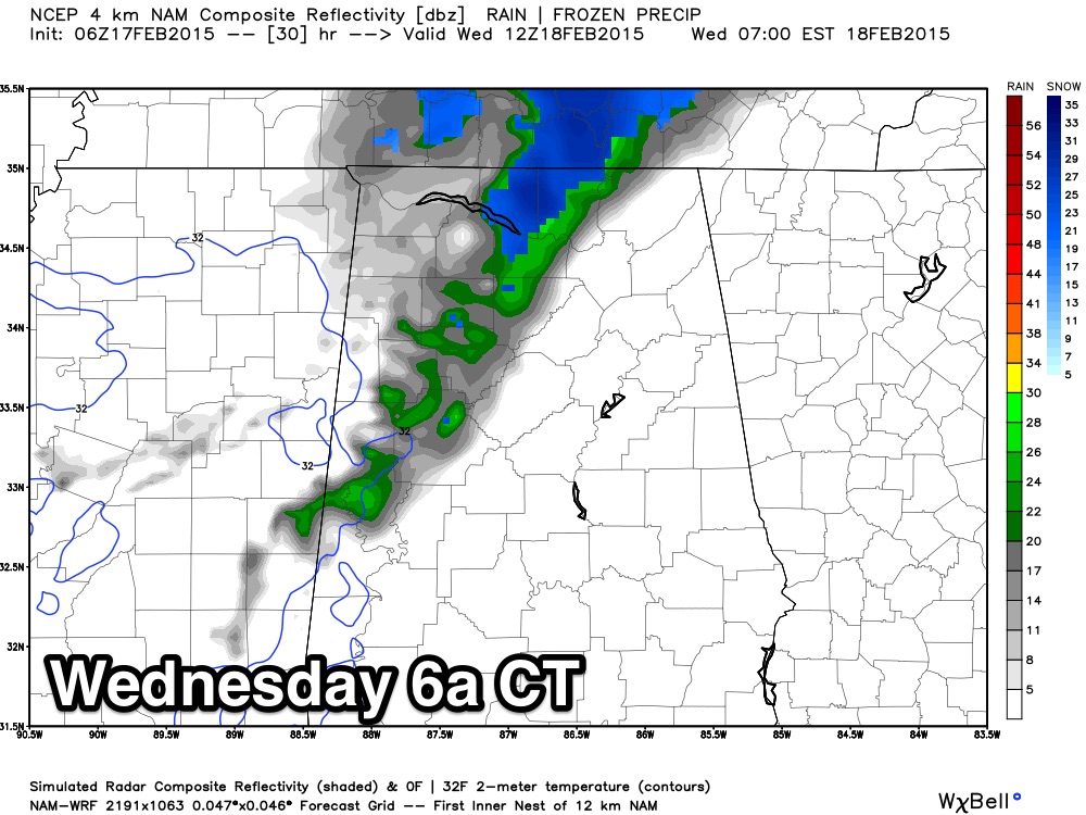
WINTER WEATHER ISSUES FRIDAY? The next wave in the southern branch of the jet stream will bring potential for more winter weather “fun and games” at the end of the week. Global models bring a “wintry mix” into the northern part of Alabama during the day; for now it seems like the highest risk of precipitation will be along and north of I-20. The 06Z GFS shows mostly sleet and snow initially with surface temperatures in the mid 30s.
Then, a slow transition to freezing rain and sleet seems likely for Friday night as the depth of the cold air decreases. The GFS keeps some freezing rain going over Northeast Alabama into early Saturday morning.
Warm air advection will be going on, and it could be similar to the event yesterday with more rain than wintry precipitation, but we just don’t know at this point.
There is no way to resolve specific details on this kind of event days in advance; it is just something we need to watch. And you need to know there could be potential impact over North Alabama Friday, Friday night, and maybe into Saturday morning.
Our first forecast/impact graphic will be prepared tomorrow morning. And, as stressed for the last event, please read the “ten things you need to know about winter weather forecasting”.
THE ALABAMA WEEKEND: Warmer air pushes northward. We will forecast a cloudy day Saturday with rain at times and a high in the 57-60 degree range. The chance of rain will continue on Sunday with similar afternoon highs. No risk of snow/ice/sleet issues from Saturday afternoon through the rest of the weekend with the warmer airmass in place.
NEXT WEEK: Looks like another battle of cold air and precipitation early next week; see the Weather Xtreme video for maps, graphics, and more details.
FIRST ALERT STORM TEAM TOUR: Our annual severe weather awareness tour across Alabama rolls along; we are scheduled to be in Cordova Thursday evening… we will decide today if we need to postpone that stop due to weather. Will let you know here this afternoon.
WEATHER BRAINS: Don’t forget you can listen to our weekly 90 minute netcast anytime on the web, or on iTunes. This is the show all about weather featuring many familiar voices, including our meteorologists here at ABC 33/40. Scroll down for the show notes on the new episode we recorded last night.
CONNECT: You can find me on all of the major social networks…
Facebook
Twitter
Google Plus
Instagram
Look for the next Weather Xtreme video here by 4:00 this afternoon… enjoy the day!
Category: Alabama's Weather
About the Author (Author Profile)
James Spann is one of the most recognized and trusted television meteorologists in the industry. He holds the AMS CCM designation and television seals from the AMS and NWA. He is a past winner of the Broadcast Meteorologist of the Year from both professional organizations.Subscribe
If you enjoyed this article, subscribe to receive more just like it.


