

Mid-Morning Update
As you can see from the post below, forecast changes were made, and a winter weather advisory is now in effect for places like Birmingham, Tuscaloosa, Anniston, Selma, and Demopolis.
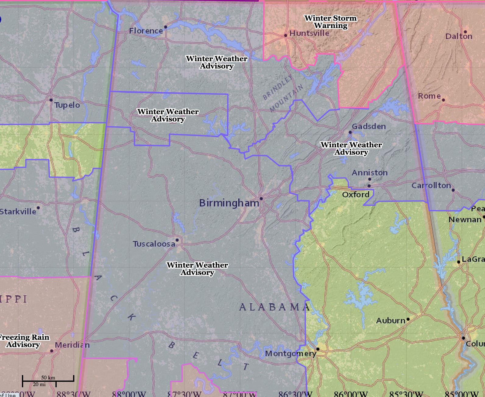
This post is for Central Alabama… the forecast for North and Northeast Alabama remains unchanged (scroll down to the early morning discussion for details).
TIMING: Mixed, light wintry precipitation, mainly snow, sleet, and graupel, will move across Central Alabama during the midday hours, with a gradual change to light rain late this afternoon and tonight as the atmosphere becomes warmer.
Temperatures should go above freezing at Tuscaloosa by 12:00 noon, and Birmingham and Anniston by 2:00 p.m.
IMPACT: It will be limited; only isolated icy patches on bridges and roads this morning due to the light nature of the snow/sleet/graupel. However, if it changes to freezing rain (rain falling in liquid form with surface temperatures below freezing), impact will be much higher and significant. While not likely, it is not out of the question.
These circumstances are not close to the event of January 28, 2014. Two entire different situations.
Stay tuned for updates….
ALABAMA POWER IS READY, ARE YOU? Our friends at Alabama Power are monitoring the forecast closely, ready to deploy people and assets to quickly address any outages that might occur. Read a special message from Ike Piggot about their commitment to their customers.
Category: Alabama's Weather
About the Author (Author Profile)
James Spann is one of the most recognized and trusted television meteorologists in the industry. He holds the AMS CCM designation and television seals from the AMS and NWA. He is a past winner of the Broadcast Meteorologist of the Year from both professional organizations.Subscribe
If you enjoyed this article, subscribe to receive more just like it.


