

Rain Arrives Late Tonight
An all new edition of the ABC 33/40 Weather Xtreme video is available in the player on the right sidebar of the blog. You can subscribe to the Weather Xtreme video on iTunes by clicking here.
RADAR CHECK: Closest rain to Alabama this afternoon is over far West Mississippi; around here the sky is partly sunny, and temperatures are mostly in the low to mid 70s. Not was warm as the low to mid 80s we enjoyed yesterday, but still a bit above average for mid-March in Alabama. Clouds will thicken in coming hours, and rain will move into the state tonight.
Looks like we will have two main windows for widespread rain over the next few days…
TONIGHT/TOMORROW: The core window for widespread rain from the first wave will come from about midnight tonight through 8:00 a.m. tomorrow. Then, by mid-morning, much of the rain will be east of Alabama, and there is only an outside risk of a shower during the midday and afternoon hours. Clouds linger much of the day and the high will be around 70 degrees.
There is no chance of severe weather tonight, although a little thunder is possible in spots.
FRIDAY/SATURDAY: These two days will be mostly cloudy, but I am not sure we really see that much rain around here. Some light rain, or a few showers are certainly possible, but with no major forcing it looks like rain amounts will be rather light and spotty. Afternoon highs will be in the 67 to 71 degree range.
SATURDAY NIGHT/SUNDAY: The second widespread rain event should take place Saturday night into Sunday morning. Like the event tonight, some thunder is possible, but no severe weather is expected. Looks like only an outside risk of a stray shower Sunday afternoon and Sunday night. The high Sunday will be in the mid 60s.
NEXT WEEK: A little light rain is not totally out of the question late Sunday night or Monday morning, but nothing too widespread or heavy, and Tuesday and Wednesday look nice with ample sunshine and a high in the low 70s.
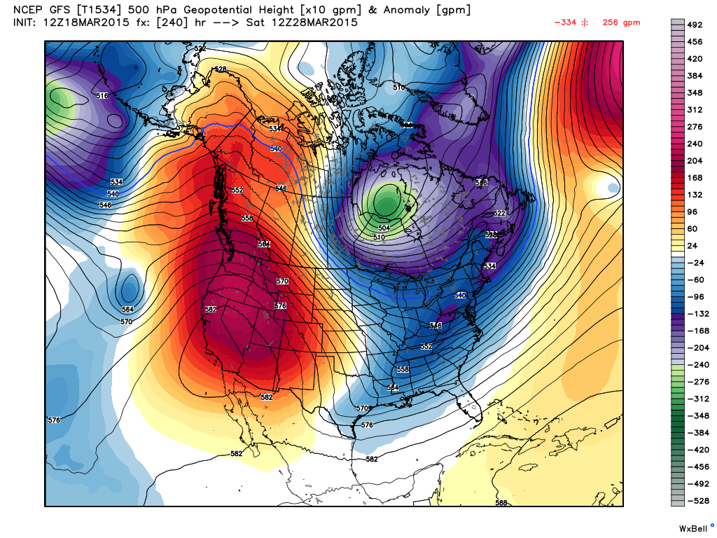
THE LAND OF VOODOO: The 12Z GFS is advertising a cold upper trough over the eastern U.S. March 28 that, if it develops, could pull down some pretty chilly air with potential for freezing temperatures one or two mornings. See the Weather Xtreme video for maps, graphics, and more details.
WEATHER BRAINS: Don’t forget you can listen to our weekly 90 minute netcast anytime on the web, or on iTunes. This is the show all about weather featuring many familiar voices, including our meteorologists here at ABC 33/40.
CONNECT: You can find me on all of the major social networks…
Facebook
Twitter
Google Plus
Instagram
I had a great time today visiting with the 5th and 6th graders at Blountsville Elementary in Blount County… be looking for them on the Pepsi KIDCAM today at 5:00 on ABC 33/40 News! The next Weather Xtreme video will be posted here by 7:00 a.m. tomorrow….
Category: Alabama's Weather
About the Author (Author Profile)
James Spann is one of the most recognized and trusted television meteorologists in the industry. He holds the AMS CCM designation and television seals from the AMS and NWA. He is a past winner of the Broadcast Meteorologist of the Year from both professional organizations.Subscribe
If you enjoyed this article, subscribe to receive more just like it.


