

Showers Today Widely Spaced
An all new edition of the ABC 33/40 Weather Xtreme video is available in the player on the right sidebar of the blog. You can subscribe to the Weather Xtreme video on iTunes by clicking here.
HELLO SPRING: Pretty quiet across the great state of Alabama this morning, on the first “official” day of spring. The vernal equinox comes this evening at 5:45p CDT, when the sun will be directly over the equator.
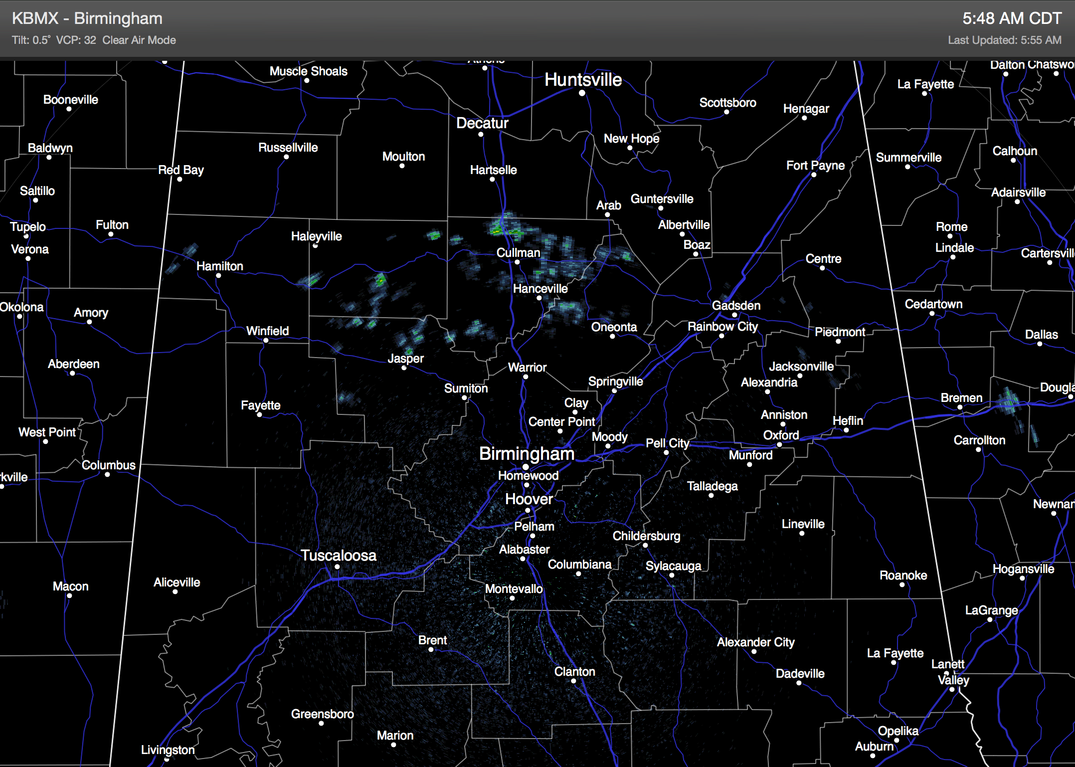
The sky will be generally cloudy today, and while some scattered light rain is very possible, a decent part of the day will be dry. The high today will be in the low 70s for most places, although Northeast Alabama will be cooler with a high in the low 60s. The CAD (cold air damming) effect kept parts of DeKalb, Cherokee, and Etowah Counties only in the 50s yesterday.
THE WEEKEND: Still looks like a decent part of the day tomorrow will be dry with intervals of sunshine; the high will be in the low 70s. The high resolution NAM model hints rain could push in from the west by the evening hours, and Sunday still looks very wet with widespread rain as the wave lifts out of the Southwest U.S. Rain amounts of 1-2 inches are likely late tomorrow night and Sunday, but no risk of severe weather, and probably very little thunder with a cool, stable airmass in place.
NEXT WEEK: The rain will push out of the state Monday morning, and we might see a bit of sun Monday afternoon. Tuesday looks rain-free; highs will remain in the low 70s.
The 00Z GFS pushes moist air back into the state Wednesday, suggesting a few showers could break out. Then, some rain is likely at times Thursday and Friday as a cold front approaches from the north.
LONG RANGE: Still evidence of a colder pattern developing for the eastern and southern U.S. around the end of the month; the risk of a freeze for North/Central Alabama is far from over. See the Weather Xtreme video for the maps, graphics, and more details.
GULF COAST WEATHER: More clouds than sun on the coast today and tomorrow from Panama City west to Gulf Shores with just a few scattered showers. Rain becomes widespread Sunday, then ending early Monday morning of next week. Tuesday and Wednesday look dry, but showers are possible Thursday and Friday of next week. Highs on the immediate coast will remain close to 70 degrees, and sea water temperatures are mostly in the mid 60s.
WEATHER BRAINS: Don’t forget you can listen to our weekly 90 minute netcast anytime on the web, or on iTunes. This is the show all about weather featuring many familiar voices, including our meteorologists here at ABC 33/40.
CONNECT: You can find me on all of the major social networks…
Facebook
Twitter
Google Plus
Instagram
I will be speaking today to the senior adult group at St. Mark United Methodist Church in Vestavia Hills… be looking for the next Weather Xtreme video here by 4:00 this afternoon. Enjoy the day!
Category: Alabama's Weather
About the Author (Author Profile)
James Spann is one of the most recognized and trusted television meteorologists in the industry. He holds the AMS CCM designation and television seals from the AMS and NWA. He is a past winner of the Broadcast Meteorologist of the Year from both professional organizations.Subscribe
If you enjoyed this article, subscribe to receive more just like it.


