

Showers Thursday Night; Colder Friday
An all new edition of the ABC 33/40 Weather Xtreme video is available in the player on the right sidebar of the blog. You can subscribe to the Weather Xtreme video on iTunes by clicking here.
THIS AFTERNOON: Much like yesterday, the sky is generally sunny north of I-20, and mostly cloudy south of I-20…
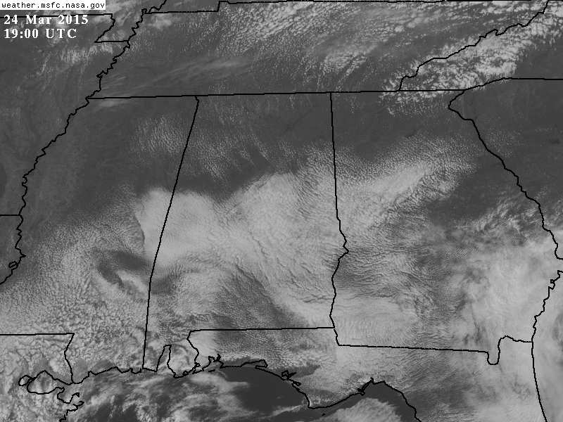
Where the sun is out, temperatures are in the 70s… with 60s elsewhere. Nothing showing up on radar.
NORTHWEST OF ALABAMA: We finally have the first severe weather watch issued by SPC during the month of March for parts of OK/MO/KS/AR… the latest “first-March” watch since 1970.
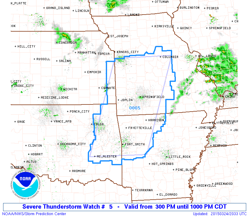
TOMORROW: A few small, isolated showers are possible, but most Alabama communities will stay dry tomorrow with a mix of sun and clouds; the high will be in the mid to upper 70s. Severe storms are possible tomorrow west of Alabama, with the higher probabilities over East Oklahoma.
LATE WEEK COLD FRONT: Clouds increase Thursday ahead of a Polar cold front, and showers will move through the state Thursday night. The latest GFS suggests the main window for showers will come from 5:00 p.m. Thursday through 5:00 a.m. Friday. No severe weather expected, and rain amounts should be generally under 1/2 inch.
Friday will be much colder with a high only in the low 50s; communities north of Birmingham could hold in the 40s all day with a very chilly north wind of 12-22 mph. The sky will be partly sunny during the day.
LATE SEASON FREEZE POTENTIAL: The low early Saturday will be in the 29-32 degree range, and Sunday morning could be just as cold. Saturday for now looks mostly dry, although a few morning snow flurries are possible over the northwest corner of the state around Muscle Shoals. The high Saturday will be in the 50-55 degree range with intervals of sunshine.
A warming trend begins Sunday afternoon with a high in the low 60s along with a good supply of sunshine.
NEXT WEEK: Monday and Tuesday look dry, but a vigorous weather system will have the potential to bring heavy rain and strong storms to Alabama Wednesday, and possibly into Thursday. See the Weather Xtreme video for maps, graphics, and more details.
WEATHER BRAINS: Don’t forget you can listen to our weekly 90 minute netcast anytime on the web, or on iTunes. This is the show all about weather featuring many familiar voices, including our meteorologists here at ABC 33/40.
CONNECT: You can find me on all of the major social networks…
Facebook
Twitter
Google Plus
Instagram
I had a great time today visiting with the 3rd graders at Concord Elementary School in Jefferson County… be looking for them on the Pepsi KIDCAM today at 5:00 on ABC 33/40 News! The next Weather Xtreme video will be posted here by 7:00 a.m. tomorrow…
Category: Alabama's Weather
About the Author (Author Profile)
James Spann is one of the most recognized and trusted television meteorologists in the industry. He holds the AMS CCM designation and television seals from the AMS and NWA. He is a past winner of the Broadcast Meteorologist of the Year from both professional organizations.Subscribe
If you enjoyed this article, subscribe to receive more just like it.


