

Colder Air Returns By Friday
An all new edition of the ABC 33/40 Weather Xtreme video is available in the player on the right sidebar of the blog. You can subscribe to the Weather Xtreme video on iTunes by clicking here.
MILD LATE MARCH DAY: Temperatures are in the 70s across the great state of Alabama this afternoon with a mixture of sun and clouds; no rain on radar, and tonight’s weather will stay dry.
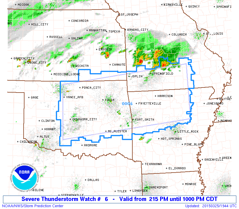
TO THE WEST: A severe thunderstorm watch is up for parts of Oklahoma, Arkansas, and some of the adjacent states ahead of a push of colder air; large hail is the main threat in that region this evening, although an isolated tornado is not out of the question.
COLD FRONT MOVES IN HERE TOMORROW NIGHT: Clouds will increase tomorrow ahead of the front, and a shower is possible by mid to late afternoon, but the better chance of showers will come early tomorrow night. Seems like the core window for showers will be from about 3:00 p.m. tomorrow through 3:00 a.m. Friday. Some thunder is possible with a little surface based instability available, but no severe weather is expected, and rain will average around a quarter of an inch.
FRIDAY AND THE WEEKEND: Friday will be a rather blustery day with a chilly north wind of 12-22 mph and a high only in the 52-55 degree range. The day will be dry with a partly sunny sky. The weekend weather headline continues to be the potential for freezing temperatures early Saturday and Sunday morning. Early morning lows both mornings will be in the 30-35 degree range…. but the air will be dry and both days will feature a good supply of sunshine. The high Saturday will remain in the low to mid 50s, but we rise into the mid 60s Sunday afternoon as a warming trend begins.
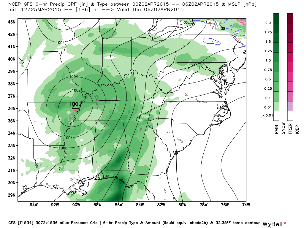
NEXT WEEK: Just a slight risk of a shower Monday, otherwise dry weather continues Monday and Tuesday with the warm-up continuing. The GFS continues to advertise a potent mid-week system that could bring the threat of strong to severe storms to the Deep South by Wednesday night… see the Weather Xtreme video for maps, graphics, and more details.
WEATHER BRAINS: Don’t forget you can listen to our weekly 90 minute netcast anytime on the web, or on iTunes. This is the show all about weather featuring many familiar voices, including our meteorologists here at ABC 33/40.
CONNECT: You can find me on all of the major social networks…
Facebook
Twitter
Google Plus
Instagram
I had a great time today visiting with the 3rd and 4th graders at Hamilton Elementary School… be looking for them on the Pepsi KIDCAM today at 5:00 on ABC 33/40 News! The next Weather Xtreme video will be posted here by 7:00 a.m. tomorrow…
Category: Alabama's Weather
About the Author (Author Profile)
James Spann is one of the most recognized and trusted television meteorologists in the industry. He holds the AMS CCM designation and television seals from the AMS and NWA. He is a past winner of the Broadcast Meteorologist of the Year from both professional organizations.Subscribe
If you enjoyed this article, subscribe to receive more just like it.


