

Storms Return Before The Week Is Over
An all new edition of the ABC 33/40 Weather Xtreme video is available in the player on the right sidebar of the blog. You can subscribe to the Weather Xtreme video on iTunes by clicking here.
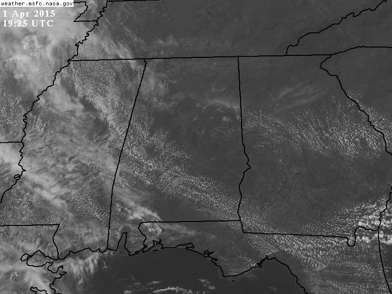
RADAR CHECK: As of mid-afternoon, no showers or storms have formed across Alabama today. We do note a field of cumulus clouds over the central counties of the state, so a few isolated showers or storms are possible this evening, but most places will stay dry.
TOMORROW: No real change; we expect a mix of sun and clouds with a high not too far from 80 degrees. A few scattered showers or storms could fire up during the afternoon and evening hours, but nothing widespread, and many communities will stay dry.
FRIDAY NIGHT FRONT: A cold front will approach, and a few showers are possible during the day Friday, but the main band of organized showers and storms will come Friday night. SPC has the standard “slight risk” defined for parts of North and West Alabama; primary threats will come from hail and gusty straight line winds… the tornado threat looks very low at this point. Rain amounts of around 1/2 can be expected, and the main window for the organized showers and storms will come from about 3:00 p.m. until midnight.
COOL EASTER WEEKEND: Saturday will be sunny, but noticeably cooler with a high in the low 60s. We are projecting a low between 38 and 42 degrees early Sunday, with potential for frost across the colder valleys and protected areas. There is a high probability this will be the last frost/freeze threat of the season… next time it gets this cold will probably come in mid to late October.
Sunday will be another sunny day with a high around 70 degrees.
NEXT WEEK: Moisture returns quickly, and showers and storms are possible Monday and Tuesday. See the Weather Xtreme video for maps, graphics, and more details.
GULF COAST WEATHER: Mostly sunny weather continues on the Gulf Coast tomorrow and Friday; a few showers could show up Friday night and Saturday morning, but they will be widely spaced. The rest of the weekend will be dry. Highs on the coast will be mostly in the low 70s, but they will drop into the 60s Saturday. Sea water temperatures remain in the mid to upper 60s.
WEATHER BRAINS: Don’t forget you can listen to our weekly 90 minute netcast anytime on the web, or on iTunes. This is the show all about weather featuring many familiar voices, including our meteorologists here at ABC 33/40.
CONNECT: You can find me on all of the major social networks…
Facebook
Twitter
Google Plus
Instagram
Look for the next Weather Xtreme video here by 7:00 a.m. tomorrow….
Category: Alabama's Weather
About the Author (Author Profile)
James Spann is one of the most recognized and trusted television meteorologists in the industry. He holds the AMS CCM designation and television seals from the AMS and NWA. He is a past winner of the Broadcast Meteorologist of the Year from both professional organizations.Subscribe
If you enjoyed this article, subscribe to receive more just like it.


