

The Alabama Weather Situation at 11:30 p.m.
Click to enlarge
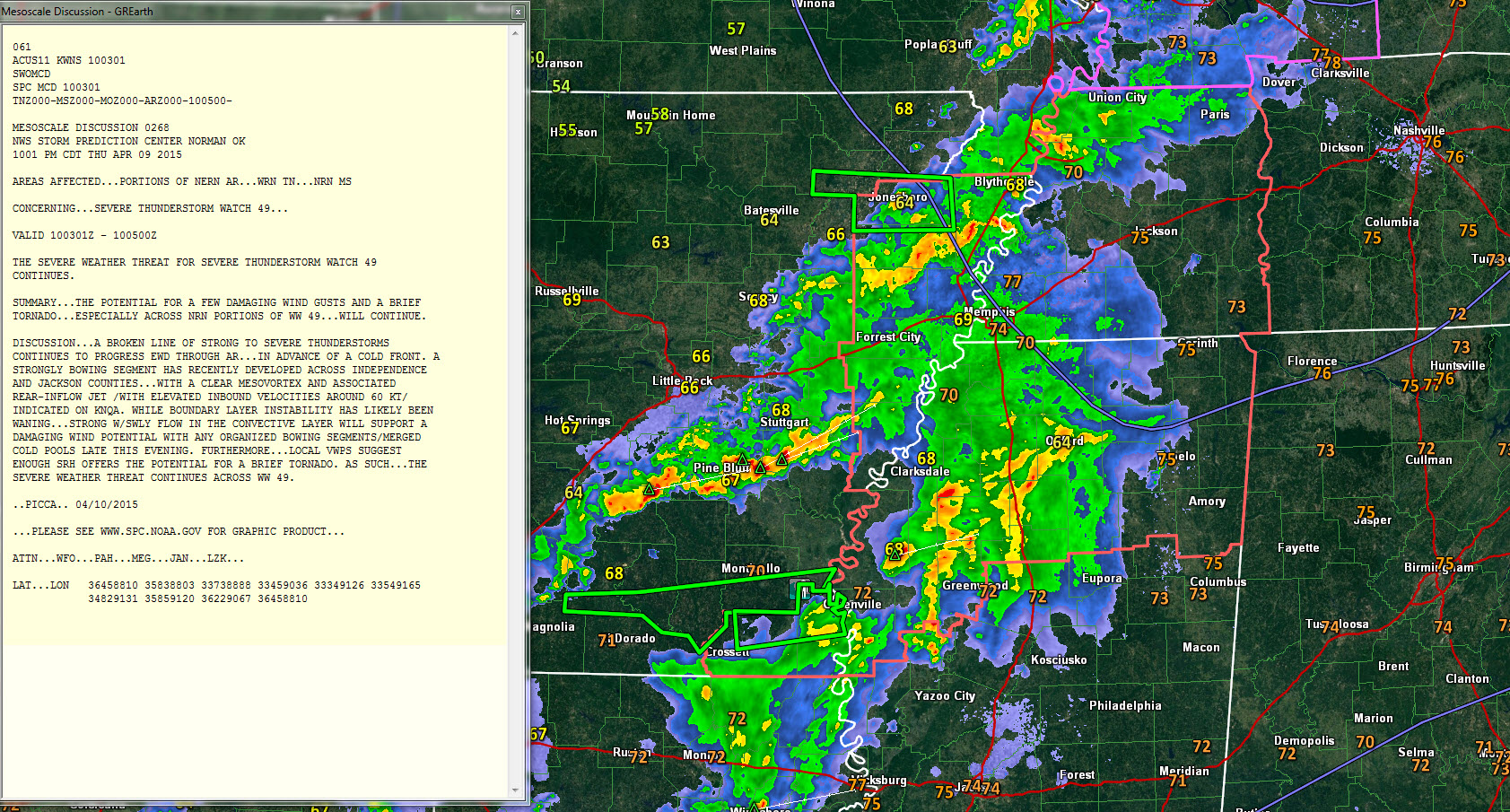
We continue to monitor active weather to our northwest late tonight as a cold front pushes towards Alabama.
The front is about 75 miles northwest of Little Rock at this hour. It will be near Hamilton by 7 a.m. and south of I-59 by noon.
Showers and storms continue across northern Mississippi and eastern Arkansas tonight, but they are not severe. Instability values are dropping across Alabama and low level wind shear values are low. The storms will continue to run out of steam as they push east of I-55 in Mississippi during the early morning hours and move into Northwest Alabama.
There is a severe thunderstorm watch for northern Mississippi that goes until 1 a.m. It remains to be seen whether the NWS will issue a new watch downstream into Alabama. My gut feel is that they won’t.
We can’t rule out a severe storm or two overnight, with damaging wind gusts the main threat, so we will be monitoring things closely through the overnight hours.
Category: Alabama's Weather, Severe Weather
About the Author (Author Profile)
Bill Murray is the President of The Weather Factory. He is the site's official weather historian and a weekend forecaster. He also anchors the site's severe weather coverage. Bill Murray is the proud holder of National Weather Association Digital Seal #0001 @wxhistorianSubscribe
If you enjoyed this article, subscribe to receive more just like it.


