

More Storms Ahead
Here is a projection of what the radar will look like over the next 15 hours, via the high resolution HRRR model…
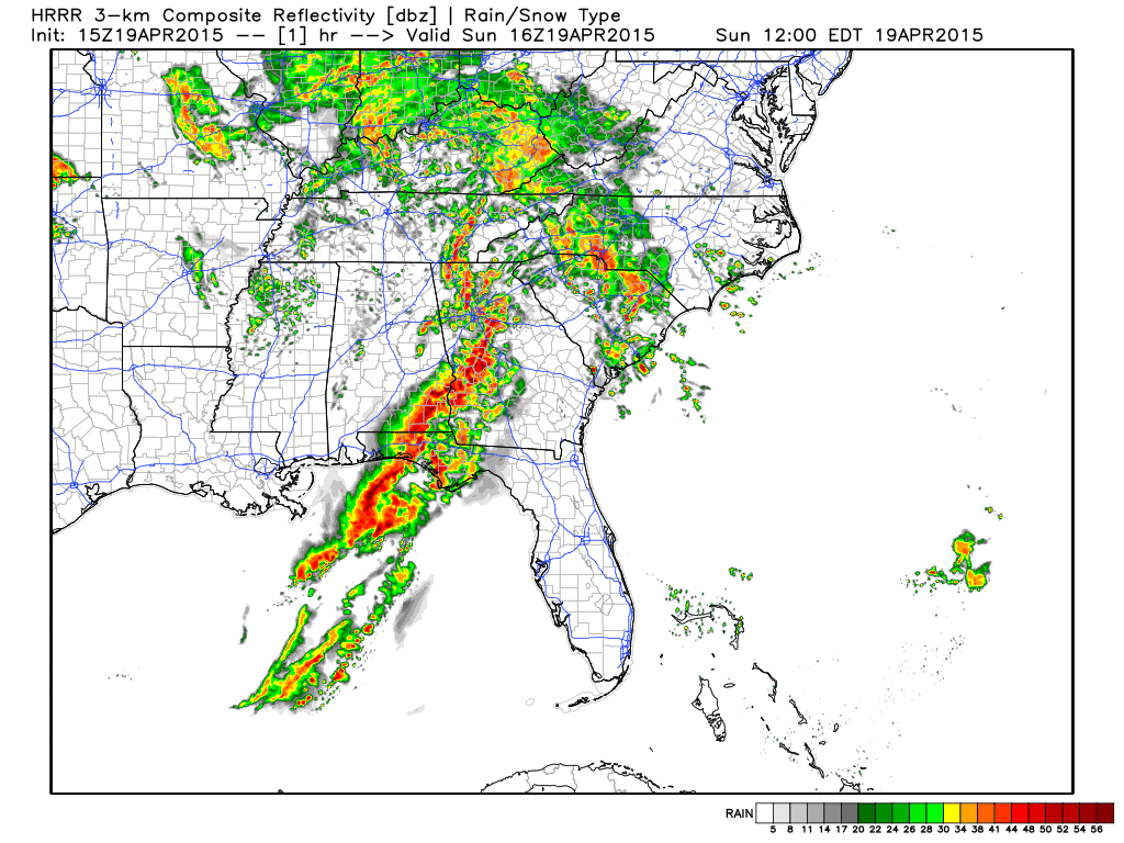
As Bill notes in the post below, we have two additional windows for severe storms in our state… one from about 1:00 until 7:00 p.m…. and another one from around 12:00 midnight tonight through 6:00 a.m. tomorrow.
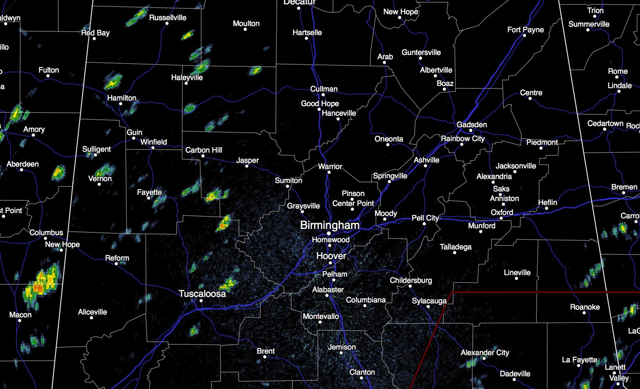
New showers are forming now over West Alabama…
These will grow stronger in coming hours as they move east… some storms this afternoon could produce hail and strong, gusty winds, but the tornado threat looks very low (although not zero).
The line of storms arriving ahead of a cold front after midnight tonight will also be capable of producing hail and gusty straight line winds. And once again, the overall tornado threat late tonight is low.
One thing to remember, with the ground saturated, some trees will come down, even with gusts under 50 mph.
NWS survey teams will look at damage in Russell County (around Fort Mitchell) this afternoon; they will review the damage in Cherokee and Calhoun Counties tomorrow (this was damage at Leesburg and Pleasant Valley).
Stay tuned for updates…
Category: Alabama's Weather
About the Author (Author Profile)
James Spann is one of the most recognized and trusted television meteorologists in the industry. He holds the AMS CCM designation and television seals from the AMS and NWA. He is a past winner of the Broadcast Meteorologist of the Year from both professional organizations.Subscribe
If you enjoyed this article, subscribe to receive more just like it.


