

Round Two Underway
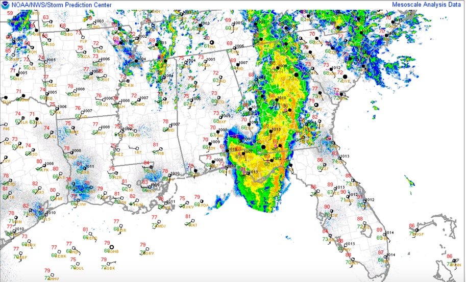
We are now in the beginning of the second round of a triple header of weather action that is underway across Central Alabama on this mid-April Sunday. The first round brought wind damage to Cherokee County and a possible tornado to East Central Alabama’s Russell County. Five cars of a freight train were brown over on a siding near Abbeville. The second round could bring severe weather this afternoon and the final round will affect the area overnight with damaging winds, hail and even isolated tornadoes.
Let’s set the stage:
MESOSCALE DISCUSSION: A second upper level disturbance was crossing the Mississippi River south of Memphis early this afternoon. Showers and storms were increasing across northern Mississippi and northwestern Alabama ahead of the disturbance. The airmass over Alabama was still slightly unstable and with temperatures expected to warm into the middle to upper 70s with clearing moving in from the west, instabilities will exceed 2,000 j/kg soon , which is moderately unstable.
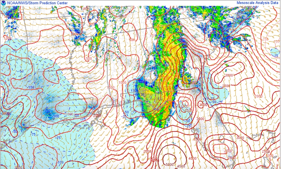
Here are current instability values, running 1,000-1,5000 j/kg over West Alabama.
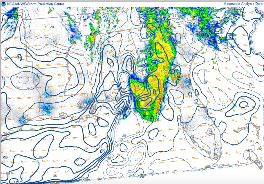
Dewpoints are in the middle and upper 60s giving the air a humid feel. There is 40-45 knots of bulk shear in areas generally south of US-78 and US-280.
Fortunately, surface winds are out of the south southwest, limiting the low level helicity, which tornadoes need to spin up.
And mid level lapse rates are poor thanks to sinking air behind our first disturbance, which should help keep the storms in check.
ROUND TWO: Round two of our severe weather event is commencing with those developing showers over Northwest Alabama. Showers will continue to grow in intensity through the afternoon as they feed on the increasing instability from the surface heating and between low level temperature profiles. The storms should be discrete and separated.
The bulk shear will allow them to organize and with drier air aloft that has moved in after this morning’s disturbance, damaging winds and large hail should be the primary threat with the strongest storms. These storms should be out of East Alabama by 8-9 p.m. The SPC has just checked in that the chance of a weather watch this afternoon is small at this time.
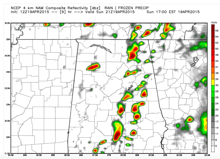
ROUND THREE: The final round of our event will come courtesy of a strong disturbance rotating around the base of the powerful upper level trough over Oklahoma this afternoon. It will trigger showers and storms to our west by late this afternoon that will cross Mississippi tonight and enter West Alabama just before midnight. The activity should be weakening as we lose the heating of the day but there are indications that instability levels will remain high enough to allow the storms to hold together into the I-65 Corridor. If they do, we could see more severe weather, including damaging winds, hail and even isolated tornadoes.
We will be closely monitoring weather conditions across Alabama this afternoon and tonight. Stay tuned here at AlabamaWX for the latest and most complete severe weather coverage for Central Alabama.
Category: Alabama's Weather, Severe Weather
About the Author (Author Profile)
Bill Murray is the President of The Weather Factory. He is the site's official weather historian and a weekend forecaster. He also anchors the site's severe weather coverage. Bill Murray is the proud holder of National Weather Association Digital Seal #0001 @wxhistorianSubscribe
If you enjoyed this article, subscribe to receive more just like it.


