

Sunny and Warm Sunday
No Weather Xtreme Video this morning since I am providing weather support to the Honda Indy Grand Prix of Alabama at the Barber Motorsports Park.
Much calmer weather expected for Central Alabama today after a challenging weather situation yesterday. Morning low clouds will give way to sunshine this morning with a mostly sunny afternoon expected. Look for highs to climb into the lower 80s across nearly all of Central Alabama even though a weak cold front will be moving through the Southeast US. Much of the moisture was wrung out of the atmosphere yesterday and there is little convergence with the front to force showers. The front will also usher in slightly drier air later today, so all in all a great Sunday for Central Alabama. Showers are still possible across South Alabama and the northern Gulf Coast.
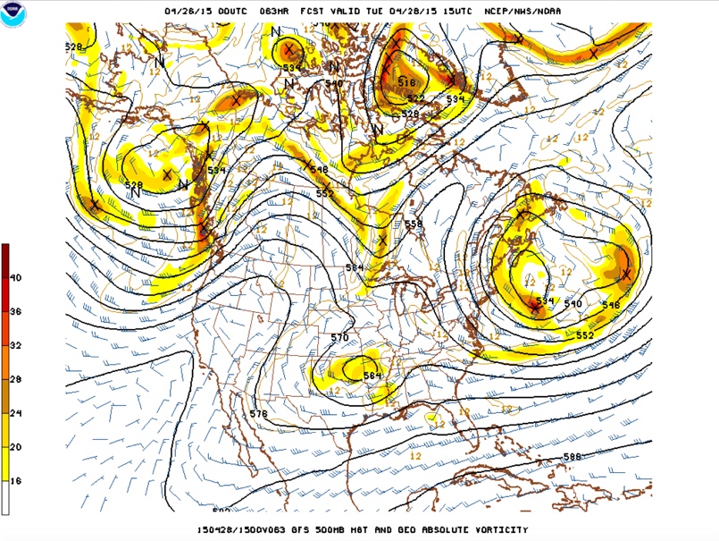
Central Alabama will be between systems on Monday with a closed low over the Canadian Maritimes and a closed low over the southern Rockies. This closed low will be slow to come our way with Tuesday the day for the weather to change as clouds increase and rain chances go up late in the day as rain advances across the Southeast US. The closed low will open up late Tuesday and Wednesday so I expect to see a good deal of cloudiness along with periods of rain for Wednesday as a surface low moves along the northern Gulf. With the low so far south, I do not expect to see any severe weather with this rainy period.
As the upper trough moves by early Thursday, we should see improving weather for the end of the week and into the weekend, great news for the races at Talladega next weekend. After a cool couple of days Tuesday and Wednesday, temperatures should climb back into the 70s for the end of the week and into the weekend as surface high pressure settles into the eastern US and the Southeast US.
Beach goers will have to contend with chances for showers through the middle of the week, but the weather should turn much better after midweek as that surface low moves east. Temperatures will be in the upper 70s for highs today and Monday, but Tuesday and Wednesday will be slightly cooler thanks to lots of clouds and better rain chances with highs in the lower 70s. Highs return to near 80 for the end of the week and the weekend.
Looking out into voodoo country, another strong trough will move across the Great Lakes around the 5th of May which is expected to bring a front along with rain chances back into the forecast. After a break in the weather another trough will bring another front to the Southeast around the 11th. So the weather pattern remains fairly active as we head into May.
Looking forward to ending a rather busy weekend with weather and the events at Barber Motorsports Park. James Spann will have the next edition of the Weather Xtreme Video first thing on Monday. Enjoy your Sunday!
-Brian-
Category: Alabama's Weather
About the Author (Author Profile)
Brian Peters is one of the television meteorologists at ABC3340 in Birmingham and a retired NWS Warning Coordination Meteorologist. He handles the weekend Weather Xtreme Videos and forecast discussion and is the Webmaster for the popular WeatherBrains podcast.Subscribe
If you enjoyed this article, subscribe to receive more just like it.


