

Morning Showers; Drier This Afternoon
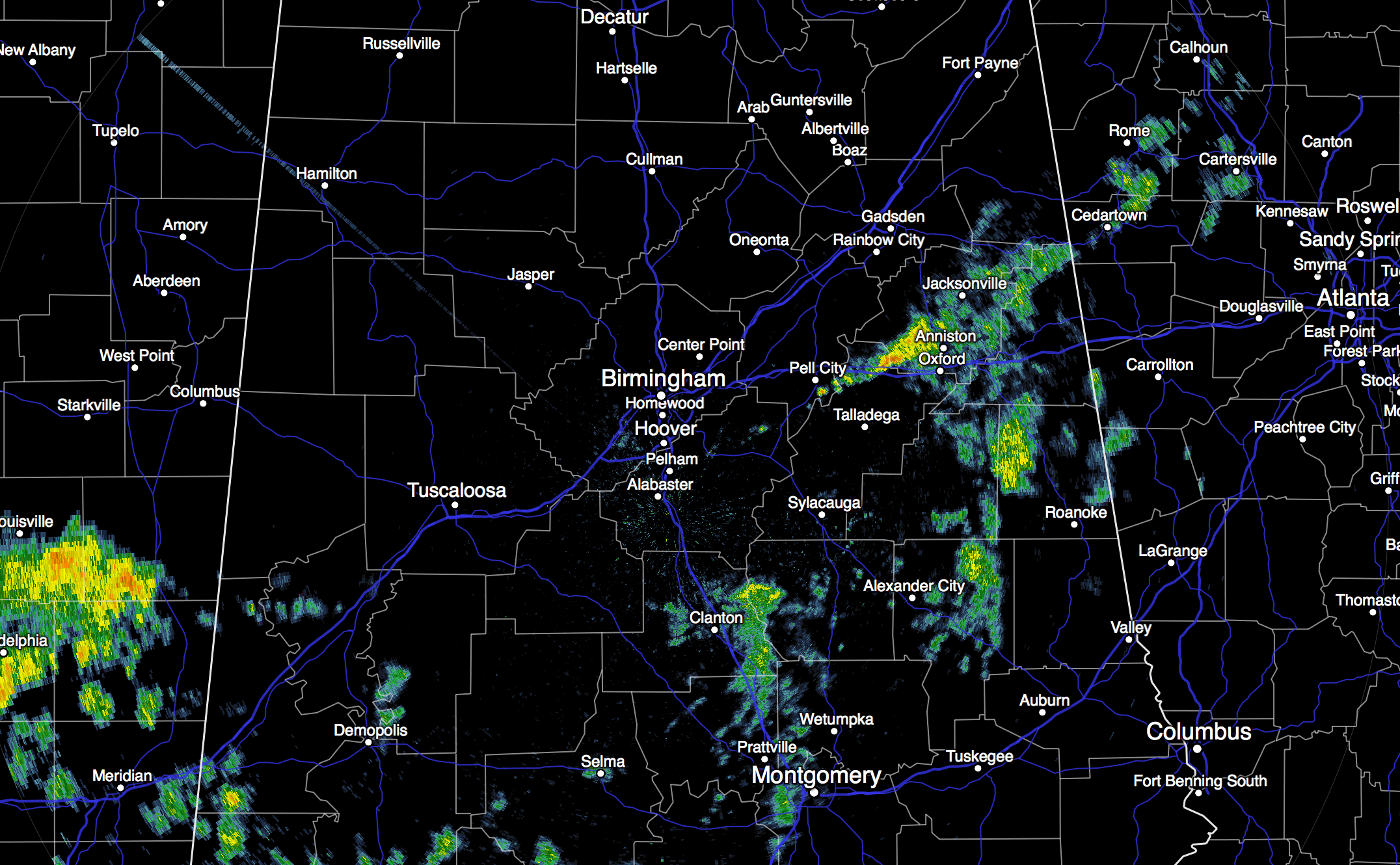
RADAR CHECK: A surface front is passing through North Alabama this morning, and showers are ahead of the front, mainly south of I-59, at daybreak.
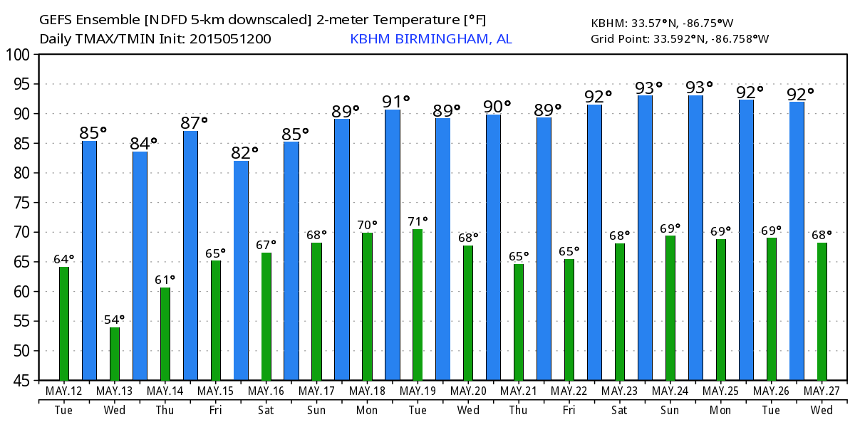
We will maintain the chance of showers this morning, but by afternoon dry air takes over, and showers will shift down into South Alabama. We project a partly sunny sky this afternoon with a high in the low 80s.
TOMORROW: It will be the nicest day of the week with ample sunshine, lower humidity, and a high between 80 and 83. Any showers will be confined to the far southern part of the state.
THURSDAY: Moist air returns quickly. We should see some sun Thursday morning, but we will need to introduce the risk of scattered showers and thunderstorms by afternoon; the high will be in the 83-86 degree range.
FRIDAY AND THE WEEKEND: A pool of very moist air will hover over Alabama on these three days; precipitable water values will approach 2 inches by Saturday. Needless to say we will need to mention a chance of showers and storms each day… seems like the highest coverage of rain will be on Friday. The weekend won’t be a wash-out, but you will need to be ready for occasional showers, and possibly a thunderstorm or two, Saturday and Sunday. Impossible to give specific start/stop times for the rain since showers/storms tend to be rather random in this kind of pattern.
The good news is that we don’t expect any severe weather over the weekend, and the sun could peek out at times. Afternoon highs will remain in the low to mid 80s, although I doubt if we get out of the 70s Friday due to clouds and showers.
NEXT WEEK: Not much change; we will have the risk of scattered showers and thunderstorms for at least the first half of the week with an early summer pattern continuing. Organized severe weather risks will continue well to the west of the state. See the blog and the Weather Xtreme video for maps, graphics, and more details.
GULF COAST WEATHER: Only widely scattered shower or storms on the coast from Panama City west to Gulf Shores today through Thursday with highs close to 80 on the immediate coast; about 6 to 8 hours of sunshine each day. Then, Friday through Sunday, 4 to 6 hours of sunshine daily with scattered showers and storms becoming a little more numerous. For those headed to the Hangout Music Festival… you will have to dodge raindrops from time to time, but the sun will also be out occasionally, and the weekend certainly won’t be a total “wash out”.
WEATHER BRAINS: Don’t forget you can listen to our weekly 90 minute netcast anytime on the web, or on iTunes. This is the show all about weather featuring many familiar voices, including our meteorologists here at ABC 33/40. Scroll down for the show notes on the new episode we recorded last night.
CONNECT: You can find me on all of the major social networks…
Facebook
Twitter
Google Plus
Instagram
Look for the next Weather Xtreme video here by 4:00 this afternoon… enjoy the day!
Category: Alabama's Weather
About the Author (Author Profile)
James Spann is one of the most recognized and trusted television meteorologists in the industry. He holds the AMS CCM designation and television seals from the AMS and NWA. He is a past winner of the Broadcast Meteorologist of the Year from both professional organizations.Subscribe
If you enjoyed this article, subscribe to receive more just like it.


