

Passing Showers Remain Likely
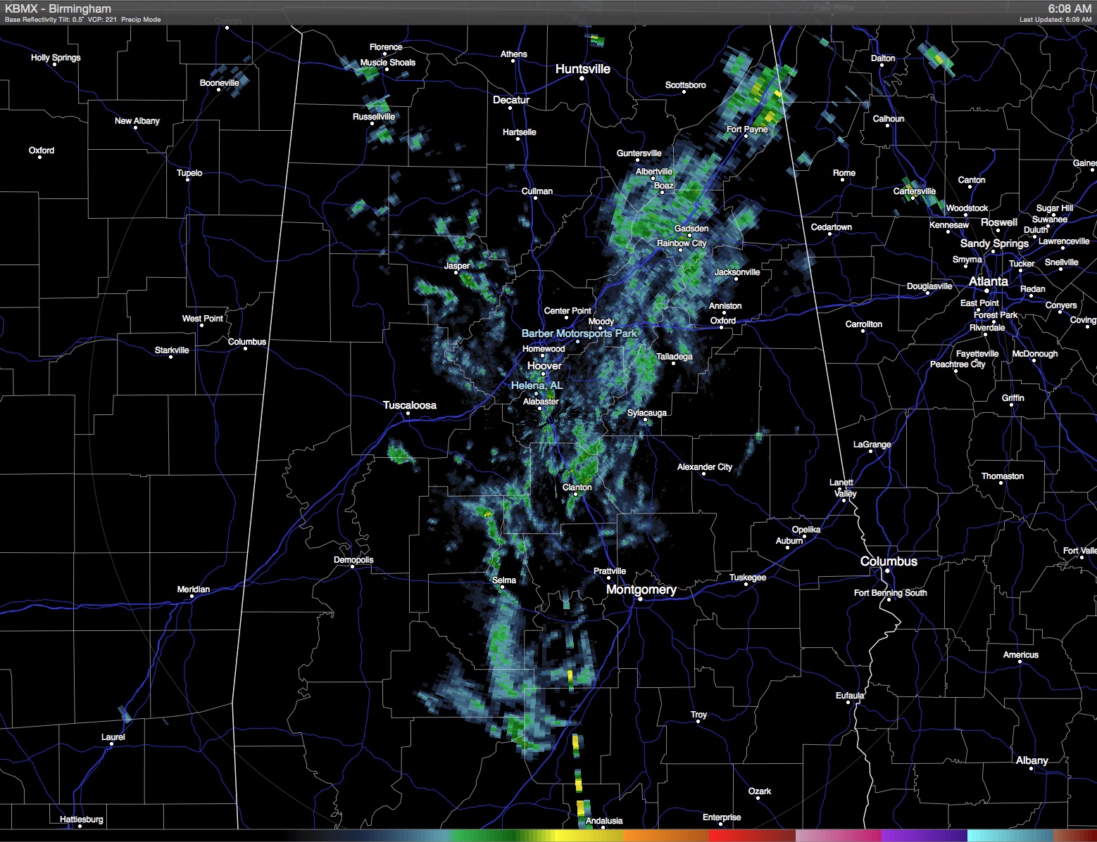
Central Alabama and the Southeast US remains in a moisture rich air mass as we see no big changes to the overall weather pattern today or into the week ahead. A quick check of radar this morning showed some light scattered showers across the state producing generally light rainfall amounts. Thunderstorms were fairly numerous along the Gulf Coast yesterday including a couple of flash flood warnings in the Mobile area.
Passing showers will also be the going weather for the beach area today with only a few peeks at the sun. Activities at The Hangout in Gulf Shores will remain in full swing with the possibility of some delays due to showers. The onshore flow is also creating a high risk for rip currents, so if you plan to be at the beach, be especially cautious if venturing into the water. The threat of a passing shower reduces into early next week, but there will still be a good amount of clouds with highs in the middle 80s with the daily threat of a scattered shower or thunderstorm.
The closed upper low over the Southwest US ejected northeastward yesterday and was the focus for a round of severe weather in the Central Plains states. That closed low will be opening up and moving north to northeast today and will be the focus for a severe weather into the Great Lakes area trailing back into the Mid Mississippi River Valley.
The upper ridge will be holding in place as the upper closed low opens up and moves into the Great Lakes. While this will help to dampen the upper ridge somewhat, the overall meandering of the upper ridge should keep our heights fairly stable so not much change in temperatures with highs in the 80s and lows in the 60s. And with a slight west to southwest flow aloft, clouds will be remaining with us. Passing showers will mean that not everyone gets rain, however, with the heavier showers some spots could see some locally heavy rain with amounts of one half to one inch possible.
With the upper ridge dampened somewhat at midweek, we should see a brief break in the chances for showers. The chance of rain will not drop to zero, but it does look like Wednesday should be a dry day for most of us. The upper ridge remains along and just west of the Mississippi River for the latter part of the week, so the forecast will have to show small daily chances for showers driven primarily by the heat of the day. It won’t be especially hot, however, with highs holding in the 80s and lows in the 60s for Central Alabama.
As we edge out into voodoo country, not much change in the overall upper air pattern, so the summer-like pattern with showers appears likely to stick with us into the latter part of May.
Watch for additional posts here for updates on the anticipated weather. James Spann will have the next edition of the Weather Xtreme Video here on Monday morning. Enjoy your day and Godspeed.
-Brian-
Category: Alabama's Weather
About the Author (Author Profile)
Brian Peters is one of the television meteorologists at ABC3340 in Birmingham and a retired NWS Warning Coordination Meteorologist. He handles the weekend Weather Xtreme Videos and forecast discussion and is the Webmaster for the popular WeatherBrains podcast.Subscribe
If you enjoyed this article, subscribe to receive more just like it.


