

Birmingham Metro Storms Packing a Punch
The storms moving into the Birmingham Metro area right now are strong, with torrential rains, deadly lightning, gusty winds and even some small hail possible. There was a severe thunderstorm warning for Shelby, Bibb and Chilton Counties, but it has expired.
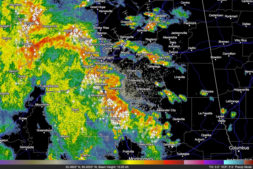
Here is the radar just after 6 p.m.:
No warnings are in effect for Central Alabama at this time. A severe thunderstorm warning was just issued for Limestone, Madison and Morgan Counties.
Winds have only gusted to 25 mph at the Shelby County Airport.
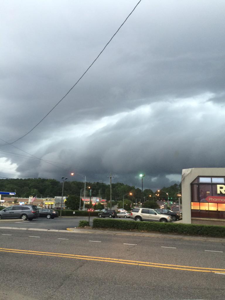
There are lots of pictures of beautiful but menacing shelf clouds across the area on the front end of the storms. Here is one from @theHoff_MAN91 via Twitter in Vestavia:
There are some isolated power outages being reported from places like Hoover and West Homewood.
Further south, winds gusted to an estimated 50-60 mph at Clanton with some tree and power line damage just before 5:45. Those storms are now over northeastern Chilton County.
All of the activity is associated with a mesoscale convective vortex currently passing along the Walker/Jefferson County line.
Category: Alabama's Weather
About the Author (Author Profile)
Bill Murray is the President of The Weather Factory. He is the site's official weather historian and a weekend forecaster. He also anchors the site's severe weather coverage. Bill Murray is the proud holder of National Weather Association Digital Seal #0001 @wxhistorianSubscribe
If you enjoyed this article, subscribe to receive more just like it.


