

Scattered Storms Mainly NW of I-59 This Afternoon
Showers and thunderstorms are forming across much of Mississippi into northwestern Alabama early this afternoon in the warm sector of a weak surface low over southeastern Missouri.
Here is a regional radar composite:
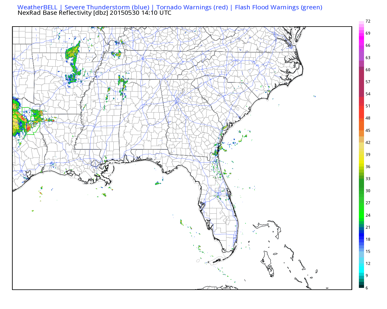
There is no lightning in Alabama yet, but as temperatures continue to warm and instability continues to increase, convection will increase. Most of the activity will be over the northwestern part of the state, north and west of I-59, where forcing from the low is adding lift. A few of the storms could become briefly severe, but widespread severe weather is not expected.
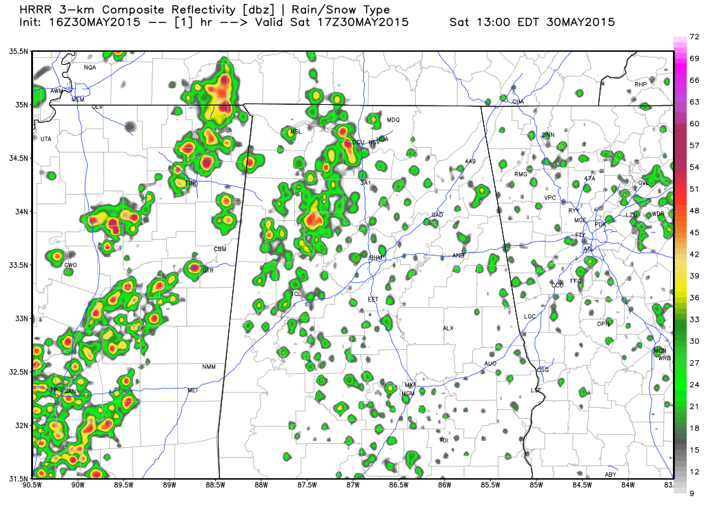
Here is the High Resolution Rapid Refresh model’s simulated radar reflectivity, giving a general idea of how areal coverage of the precipitation should look today:
The SPC has areas north and west of I-59 in a “marginal” risk category today. That is the new category that replaced the old “see text” category, which was there to cover events that had probabilities of severe weather that were too low to qualify as a “slight” risk.
Southeast of I-59, only widely scattered showers and storms are expected today.
Temperatures at noon are in the 80s, ranging from 81F at Haleyville to 86F at Talladega. It was 82F at Birmingham,, 83F at Anniston and 84F at Calera and Tuscaloosa. Highs will top out in the middle and upper 80s this afternoon.
Tomorrow should be stormier with a cold front settling into northwestern Alabama approaching I-59. The SPC has nearly the entire state of Alabama in a marginal risk forecast for Sunday.
Category: Alabama's Weather
About the Author (Author Profile)
Bill Murray is the President of The Weather Factory. He is the site's official weather historian and a weekend forecaster. He also anchors the site's severe weather coverage. Bill Murray is the proud holder of National Weather Association Digital Seal #0001 @wxhistorianSubscribe
If you enjoyed this article, subscribe to receive more just like it.


