

Trending Hotter with Storms Dropping Off
After a couple of days with fairly numerous showers and thunderstorms to contend with, our weather pattern appears headed for warmer conditions with less numerous showers and storms. Look for a high around 90 today but there is still about a 40 to 60 percent chance for showers and thunderstorms.
Surface high pressure along with an upper ridge were situated over the Southeast US and this overall pattern will not see much in the way of change for the foreseeable future, but the action will still be close to us. A weakness in the upper air flow over Texas and the western Gulf of Mexico will keep the weather fairly wet over the western sections of the Lower Mississippi River Valley. And while that weakness keeps that area wet, the upper ridge maintains a hold on the pattern for much of the Southeast US. This should mean an uptick in temperatures for Central Alabama as well as a trend to more isolated afternoon convection.
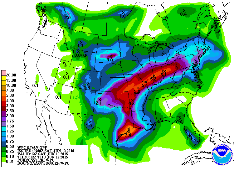
It still remains to be seen what will happen in the western Gulf of Mexico with the weak disturbance over the Yucatan today as it moves northwesterly toward the upper Texas coast. Needless to say, there is some definite uncertainty as the forecast gets out to mid and late week. Even if the upper ridge holds, we could still see an increase in showers as the upper level disturbance moves northeastward across the Lower Mississippi River Valley by the end of the week. So definitely need to stay tuned.
For beach interests, look for 4 to 6 hours of sun today along the Central Gulf Coast with more scattered showers and thunderstorms, then 7 to 9 hours of sunshine over the coming week, with showers and storms becoming fewer in number. Highs on the immediate coast will hold in the mid 80s, with 87 to 90 degrees likely inland. Sea water temperatures are in the low to mid 80s.
In the tropics, that area of disturbed weather over the extreme western Caribbean is expected to move into the Southwest Gulf of Mexico Sunday. In the eastern Pacific, Carlos is forecast to become a hurricane late Sunday as it moves northwest along the western coast of Mexico early next week.
Looking out into voodoo country, the GFS is suggesting a fairly strong trough moving through the Central US around the 23rd of June followed by a building ridge as the end of June nears.
I expect to have the next Weather Xtreme Video here Sunday morning. I will be filling in for Meaghan over the weekend at ABC 3340.
-Brian-
Category: Alabama's Weather
About the Author (Author Profile)
Brian Peters is one of the television meteorologists at ABC3340 in Birmingham and a retired NWS Warning Coordination Meteorologist. He handles the weekend Weather Xtreme Videos and forecast discussion and is the Webmaster for the popular WeatherBrains podcast.Subscribe
If you enjoyed this article, subscribe to receive more just like it.


