

Heat Going Up Again
The remnants of Bill were moving off the Mid-Atlantic states this morning, and Central Alabama benefitted from Bill yesterday with some spots picking up around a third of an inch of rain in scattered showers mainly along the Interstate 20 corridor. But today begins another round of hot weather for Central Alabama as the much advertised upper ridge over the Southwest US builds into and across the Southeast US. Showers should become pretty scarce, but there could be an isolated shower or two today as highs climb into the middle 90s.
And today marks two happenings! First, it’s Father’s Day so happy Father’s Day to all you Dads. And today marks the official start to summer as the sun has come as far north as it gets before heading back south, the summer solstice.
The upper ridge builds across the Southeast US for the first of the week with Tuesday and Wednesday expected to be the hottest days. It will be mainly dry as showers will be scarce and highs reach the middle and upper 90s for us. Heat indices both of these days are likely to reach the 100 to 105 degree range.
But stay hopeful for there are changes on the horizon. The GFS begins to develop a trough over the eastern US as we head into the latter part of the week. By Friday and Saturday, the trough becomes established with a front coming southward into the Ohio and Tennessee River Valleys. This trough will suppress the ridge for the Southeast US and push it back toward the western US. The northwesterly flow along with more clouds and additional showers and thunderstorms will help bring temperatures back to more typical values for late June with highs around 90 degrees – upper 80s if you want to be really optimistic.
The trough stays with us into the weekend as it becomes a more prominent feature over the eastern US. This will probably mean a somewhat active weather pattern for the Southeast US and Central Alabama with fairly good shower possibilities as well as the anticipated break in the heat.
Through much of next week, expect fairly typical summer weather along the northern Gulf Coast. At the beach highs will be in the upper 80s while just inland readings will be in the lower 90s. Showers and storms will be possible each day as the sea breeze develops. There will be plenty of sun for all to work on those tans, but be sure to use sunscreen since the UV index is extreme. Water temperature this morning at the Dauphin Island Sea Lab was 87 degrees.
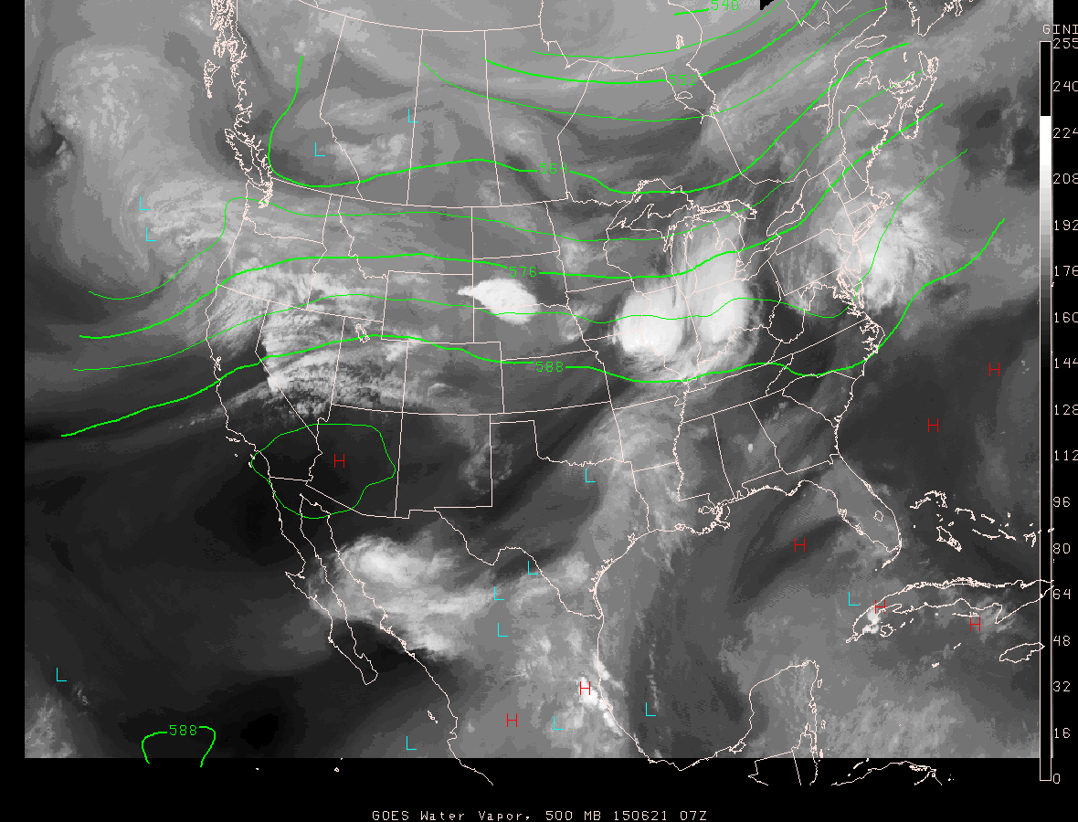
The main focus for severe weather in the US will be along the Ohio River Valley and back into the northern plains states as the ridge keeps the main storm track and the traveling westerlies well north of Alabama. And the tropics remain quiet with nothing expected for the next couple of days in either the Atlantic or eastern Pacific basins.
Peering further into the future, the long range GFS holds onto the eastern US trough as we head into the first few days of July, but as you might expect, that pattern will not last long with the ridge forecast to come back as we head into the Fourth of July and just beyond.
James Spann is expected back from vacation tomorrow with the next edition of the Weather Xtreme Video. Be sure to stay aware of the heat, be sure to stay hydrated, and when working or playing outside, don’t overdue it!
-Brian-
Category: Alabama's Weather
About the Author (Author Profile)
Brian Peters is one of the television meteorologists at ABC3340 in Birmingham and a retired NWS Warning Coordination Meteorologist. He handles the weekend Weather Xtreme Videos and forecast discussion and is the Webmaster for the popular WeatherBrains podcast.Subscribe
If you enjoyed this article, subscribe to receive more just like it.


