

A Break In The Heat By Friday
HOT SUMMER AFTERNOON: Another sizzling summer afternoon across the great state of Alabama, with temperatures mostly in the 94 to 97 degree range. Storms over the northern counties are very isolated, heaviest ones in the state as I write this are down in Mobile and Baldwin Counties, where severe thunderstorm warnings have been posted.

Isolated storms are still possible tonight statewide, but many places will be dry.
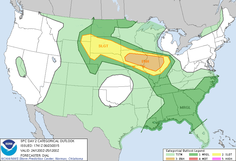
TOMORROW/THURSDAY: The weather probably won’t change much on these days. We do note SPC has much of Alabama in a “marginal” severe weather risk tomorrow; any isolated storms that form could produce a wet microburst; local areas of damaging winds that are almost impossible to warn for because of their short duration and limited coverage. But, not much change with hot, humid conditions continuing. Highs will remain in the mid to upper 90s.
HEAT RELIEF: A pattern change will break the heat at the end of the week; a large upper trough begins to form over the eastern U.S. Friday, and we expect a good increase in the number of showers and thunderstorms with temperatures not getting out of the 80s because of clouds and showers. Best chance of rain will come Friday afternoon, but a few morning showers can’t be ruled out.
THE ALABAMA WEEKEND: Saturday continues to look fairly wet… a day with more clouds than sun and occasional showers and thunderstorms. The high will be only in the low to mid 80s, and some North Alabama communities could hold in the 70s all day because of clouds and showers. Then, dry air drops into the northern half of the state Sunday; we will forecast a partly to mostly sunny sky with a high in the mid 80s along with lower humidity values. Showers and storms Sunday should be confined to the southern counties of Alabama.
NEXT WEEK: For now Monday and Tuesday look mostly dry and pleasant for North/Central Alabama, with mostly sunny days and fair pleasant nights; highs in the 80s, and lows in the 60s. Cooler spots could reach the 50s early Monday morning for a little preview of fall.
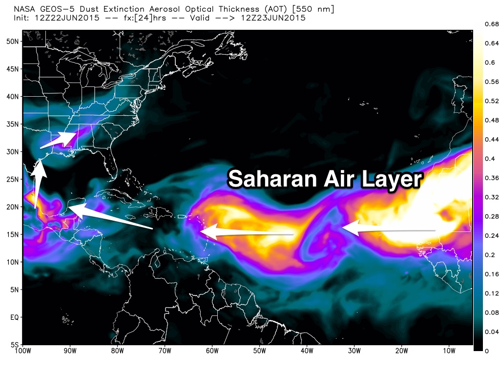
TROPICS: A large amount of dry air coming off the African deserts covers the Atlantic basin; some of that is actually making the sky more hazy across Alabama today. Tropical storm formation is not expected this week.
AT THE BEACH: We project about 7 to 9 hours of sunshine each day along the coast through Saturday with the daily risk of scattered thunderstorms. Storms should be a little more numerous Sunday, but there still should be a decent amount of sun in place. Highs on the immediate coast will be in the mid to upper 80s, with 90s inland. Sea water temperatures are mostly in the mid 80s.
WEATHER BRAINS: Don’t forget you can listen to our weekly 90 minute netcast anytime on the web, or on iTunes. This is the show all about weather featuring many familiar voices, including our meteorologists here at ABC 33/40.
CONNECT: You can find me on all of the major social networks…
Facebook
Twitter
Google Plus
Instagram
Look for the next Weather Xtreme video here by 7:00 a.m. tomorrow.
Category: Alabama's Weather
About the Author (Author Profile)
James Spann is one of the most recognized and trusted television meteorologists in the industry. He holds the AMS CCM designation and television seals from the AMS and NWA. He is a past winner of the Broadcast Meteorologist of the Year from both professional organizations.Subscribe
If you enjoyed this article, subscribe to receive more just like it.


