

Break In The Heat Friday
STILL HOT THROUGH TOMORROW: Birmingham has recorded a high of 97 degrees the past two days; the hottest days so far this summer. We will be pretty close to that today and tomorrow; most communities will see a high between 94 and 97 degrees with hazy sunshine and the usual towering cumulus clouds.
A decaying MCS (mesoscale convective system) moved into far North Alabama late last night; some of you over the northern counties had a nice lightning show, but as expected those weakened as they moved deeper into the state, and at daybreak there is nothing on radar.
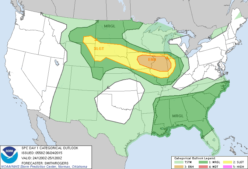
Widely scattered storms will fire up again later today, SPC has all 67 Alabama counties in a “marginal” severe weather risk. The primary threat is from “wet microbursts”, or local areas of strong straight line winds. These are very difficult to warn for since they are of very short duration, and cover a small area. We will watch radar trends closely later today when they get on the board. But, many neighborhoods will be just hot and dry.
Not much change tomorrow; hot and hazy with a few widely scattered storms.
HEAT RELIEF FRIDAY: A pattern change will break the back of the heat; an upper trough will carve out over the eastern half of the nation, and we expect a much higher coverage of showers and thunderstorms Friday afternoon. A good chance we won’t get out of the 80s Friday because of the increased clouds and rain activity.
THE WEEKEND: Saturday still looks fairly wet, with occasional showers and thunderstorms. The high will only in the low to mid 80s, and if you have something planned outside be ready for rain delays. However there will be some nice breaks in the rain, and the sun should peek out at times. Then, dry air arrives Sunday, and the day looks very pleasant with ample sunshine, lower humidity, and a high in the mid 80s. Any showers and storms Sunday should be confined to the southern third of Alabama.
NEXT WEEK: I think the cooler places across North Alabama will start Monday with a low in the 50s; we stay dry during the day Monday with a mostly sunny sky and a high in the mid to upper 80s. We will bring back the chance of scattered showers and storms Tuesday and Wednesday with a high both days between 87 and 90. See the Weather Xtreme video for maps, graphics, and more details.
TROPICS: A large amount of dry air covers the deep tropical Atlantic basin, and tropical storm formation is not expected anytime soon.
AT THE BEACH: About 7 to 9 hours of sunshine each day through Saturday with scattered thunderstorms. Storms will be a little more numerous Sunday and Monday, but even on those days expect a decent amount of sunshine. The rest of next week looks very routine, with partly to mostly sunny days and the risk of scattered storms. Highs on the immediate coast will be in the mid to upper 80s, with low 90s inland.
WEATHER BRAINS: Don’t forget you can listen to our weekly 90 minute netcast anytime on the web, or on iTunes. This is the show all about weather featuring many familiar voices, including our meteorologists here at ABC 33/40.
CONNECT: You can find me on all of the major social networks…
Facebook
Twitter
Google Plus
Instagram
Look for the next Weather Xtreme video here by 4:00 this afternoon… enjoy the day!
Category: Alabama's Weather
About the Author (Author Profile)
James Spann is one of the most recognized and trusted television meteorologists in the industry. He holds the AMS CCM designation and television seals from the AMS and NWA. He is a past winner of the Broadcast Meteorologist of the Year from both professional organizations.Subscribe
If you enjoyed this article, subscribe to receive more just like it.


