

Numerous Storms but Drier Sunday
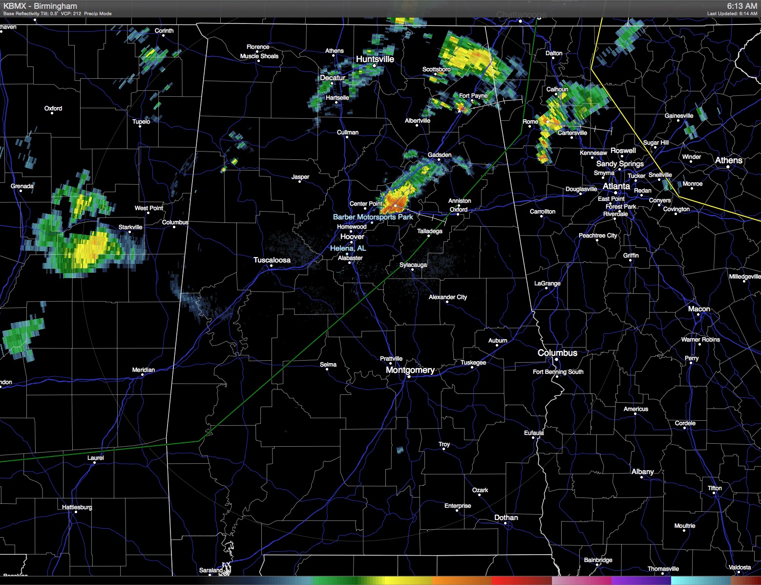
We’ve been talking about the pattern change for over a week now and that change is underway. With a cold front draped across the Mid-South, look for numerous showers and thunderstorms today ending into the evening hours as the front progresses southward. Even though coverage of storms will be fairly widespread, it is possible to come close and not get much rain. But with moisture levels up, most showers will produce fairly good rains with one half to one inch in many showers. Clouds will help to keep the temperature in check again today much like yesterday with highs mainly in the upper 80s. Radar was already active as I was preparing the video.
Isolated storms could be strong to marginally severe, but the main severe weather dynamics are east of Alabama where SPC has an enhanced risk for severe storms outlined along the Mid-Atlantic States.
The upper trough comes by early Sunday bringing a nice change with much lower humidity as dew points plunge into the upper 50s by Sunday. Sunday and Monday mornings will be the nicest we’ve seen just about all month with lows in the 60s and some of those typically cooler spots dipping into the upper 50s.
But moisture levels will start creeping back up on Monday and into Tuesday, so we’ll have to bring showers back into the forecast for the middle and end of the coming week. The upper air pattern maintains a trough over the eastern US, so temperatures should remain about typical for late June with highs in the upper 80s and lower 90s and some daily threat of scattered showers. Another front makes a run at the Southeast toward the end of the week, but with the upper trough not quite as strong as the current trough I do not expect it to be successful.
For those headed to the beach, you can expect about 4 to 5hours of sunshine today and Sunday on the coast from Mobile to Panama City Beach with scattered showers and thunderstorms. Storms remained scattered through next week, with about 6 to 8 hours of sunshine daily. Highs on the immediate coast will be in the mid to upper 80s, with lower 90s inland. Sea water temperatures remain in the mid 80s.
The Atlantic basin remains quiet, and tropical storm formation is not expected through early next week.
While the break in the heat is not expected to last very long – a couple of days will be nice – the long range model projections bring the upper ridge back into the picture for the eastern US as we head deeper into July, so heat levels will likely go back up. After all, it is July!
I expect to have the next Weather Xtreme Video posted here on Sunday morning. Check back on the Blog often for updates on the ever-changing Alabama weather.
-Brian-
Category: Alabama's Weather
About the Author (Author Profile)
Brian Peters is one of the television meteorologists at ABC3340 in Birmingham and a retired NWS Warning Coordination Meteorologist. He handles the weekend Weather Xtreme Videos and forecast discussion and is the Webmaster for the popular WeatherBrains podcast.Subscribe
If you enjoyed this article, subscribe to receive more just like it.


