

Afternoon Update
After the very active start to the day, we have see a lull in the action and actually have see some decent sunshine across portions of the state. The breaks in the cloud cover, as seen below, are allowing instability to build and we are once again seeing convection blossom across portions of the Southeast.
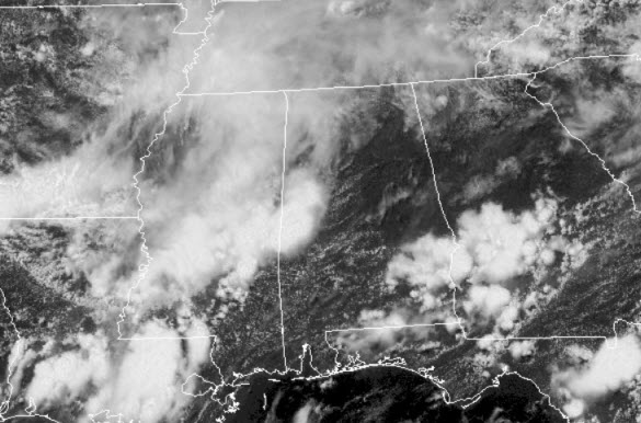
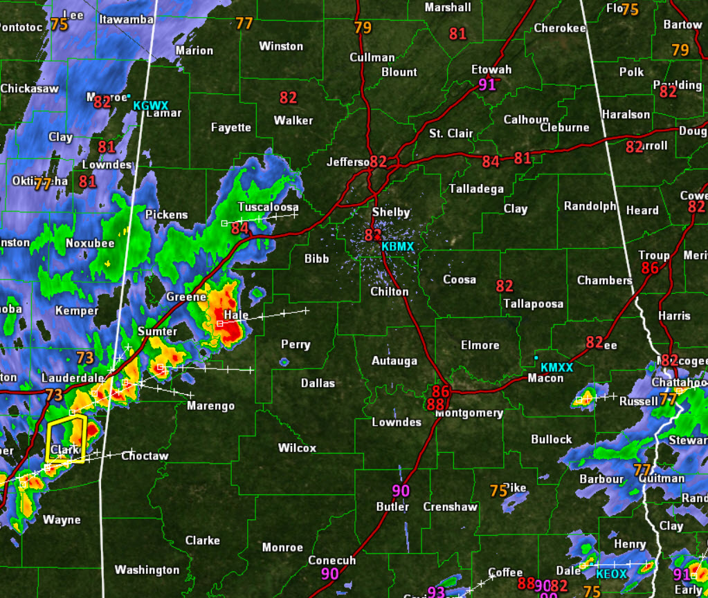
Under these puffy white clouds, we are seeing numerous showers and storms. These storms are producing a lot of lightning, gusty winds, intense rainfall, and possibly even some hail. A quick look at the radar shows a cluster of storms over West Alabama and they are tracking towards the east. It looks as though the bulk of the activity will be staying just to the south of Interstate 20 corridor.
Click image to enlarge.
For the rest of today we will continue to see showers and storms develop across Central Alabama and these could affect some of those fireworks shows, but hopefully we will see enough breaks in the action that will allow the shows to go on. Heading into Sunday, expect more of the same across the state. A stall frontal boundary to our north, and a warm and moist air mass will allow for numerous showers and storms to develop once again tomorrow. These storms will produce loads of lightning, but flooding could be the greatest concern. A reminder, much of Central Alabama remains under a flash flood watch through Sunday morning.

Category: Alabama's Weather
About the Author (Author Profile)
Macon, Georgia Television Chief Meteorologist, Birmingham native, and long time Contributor on AlabamaWX. Stormchaser. I did not choose Weather, it chose Me. College Football Fanatic. @Ryan_StinnetSubscribe
If you enjoyed this article, subscribe to receive more just like it.


