

Trending Hotter and Drier
RADAR CHECK: The weather is pretty quiet at daybreak across Alabama; we note just a few small, isolated showers over the northeast counties of the state. Temperatures are mostly in the 67-72 degree range.
THE DAY AHEAD: We will still mention the risk of a few scattered showers or storms this afternoon and early tonight, but they will be fewer in number as an upper ridge begins to build across the Deep South. The high will be in the mid to upper 80s… it is very interesting to note that Birmingham has failed to reach 90 degrees so far during the month of July. The last time we had a high of 90 or higher was back on June 29, when the high was 91. This will be the the seventh consecutive day with a high only in the 80s.
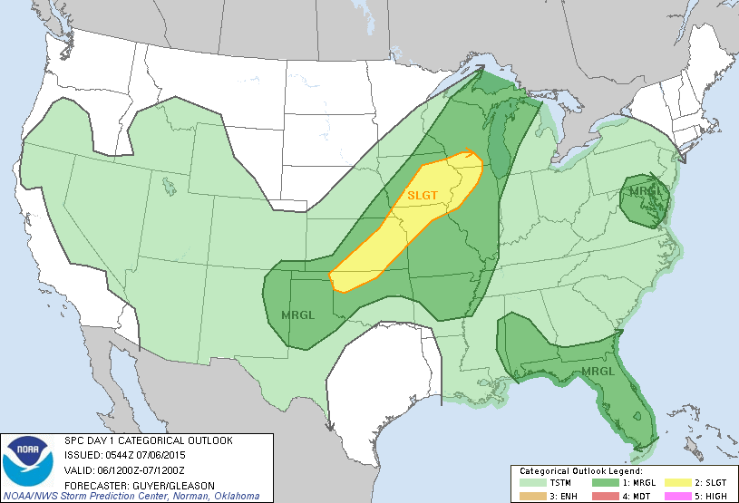
We do note SPC has parts of West and South Alabama under a “marginal” risk of severe storms later today; where they do form the storms could be pretty strong in that part of the state.
RES OF THE WEEK: The upper ridge will continue to slowly build, meaning the northwest flow pattern that brought the enhanced rain coverage is gone for a while. Expect partly sunny days with a few isolated afternoon storms, but many places will have a chance to dry out. And, we heat up… a good chance we do see 90 degree heat tomorrow, with low 90s likely Wednesday through Friday.
The chance of any one spot getting wet each day will be in the 20-30 percent range, and most of the showers and storms will come during the afternoon and evening hours.
THE ALABAMA WEEKEND: The weekend looks very routine for mid-July in Alabama…. partly sunny, hot, humid days with the risk of “scattered, mostly afternoon and evening showers and thunderstorms. Highs in the 91-94 degree range.
NEXT WEEK: The GFS suggests the upper trough over the eastern U.S. will become established again, with the heat ridge moving back to the west. This means next week should be wetter and not as hot… see the Weather Xtreme video for maps, graphics, and more details.
GULF COAST WEATHER: Looks good this week with about 6 to 8 hours of sunshine daily from Panama City Beach west to Gulf Shores, and the usual risk of a passing storm from time to time. Highs on the immediate coast will be in the mid to upper 80s, with low 90s inland. The sea water temperature this morning at the Dauphin Island Sea Lab has dropped to 79 degrees.
TROPICS: Very quiet across the Atlantic basin with very dry air in many regions, and tropical storm formation is not expected this week. Most of the action is over in the western Pacific.
WEATHER BRAINS: Don’t forget you can listen to our weekly 90 minute netcast anytime on the web, or on iTunes. This is the show all about weather featuring many familiar voices, including our meteorologists here at ABC 33/40. We will produce this week’s show tonight at 8:30 CT… you can watch it on “James Spann 24/7” on cable systems around the state, or on the web here.
CONNECT: You can find me on all of the major social networks…
Facebook
Twitter
Google Plus
Instagram
Look for the next Weather Xtreme video here by 4:00 this afternoon… enjoy the day!
Category: Alabama's Weather
About the Author (Author Profile)
James Spann is one of the most recognized and trusted television meteorologists in the industry. He holds the AMS CCM designation and television seals from the AMS and NWA. He is a past winner of the Broadcast Meteorologist of the Year from both professional organizations.Subscribe
If you enjoyed this article, subscribe to receive more just like it.


