

Little Change to Our Weather
The fairly typical heat of July is upon us along with hit or miss thunderstorms. Yesterday we saw a band of isolated thunderstorms develop across Central Alabama, and I heard a lot of thunder but there was no rain to report in my gauge and the yard was disappointed. The good news was the drop in temperature thanks to the storms that were close by.
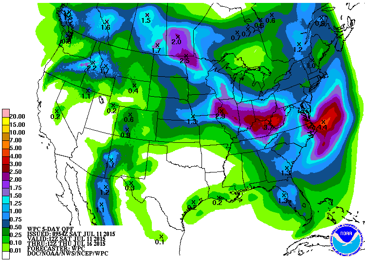
The overall weather pattern for Alabama and the Southeast US is not going to be changing much for the next week. The upper ridge will gradually migrate a tad further west into the middle of the week while a trough becomes reestablished over the Mid-Atlantic States. This essentially keeps Alabama on the edge of much of the action with the potential for isolated thunderstorms in the heat of the day mainly between about 1 pm and 8 pm. Temperatures are going to stay up for the foreseeable future with highs mainly in the lower to middle 90s. Temperatures
The weak convergence zone that helped to develop the thunderstorms yesterday afternoon has drifted a little southward, so the best chances to see thunderstorms is expected to be across the southern half of the state. Some of the storms may pack a bit of a punch with the SPC denoting a marginal risk area for South Alabama.
Beach goers will see mostly sunny days and fair nights along the coast from Dauphin Island to Panama City Beach for the next week with the usual risk of a passing storm from time to time. Highs on the immediate coast will be in the upper 80s, with lower 90s inland. Water temperatures at the Dauphin Island Sea Lab have been running between 86F and 88F these past few days.
The tropical Atlantic remains quiet but there are two areas of potential tropical development in the eastern Pacific. And Typhoon Chan-Hom is passing close to the China coast near Shanghai this morning as it recurves to the northeast.
The GFS is forecasting a decrease in heights over the eastern US as we head out into week 2 or voodoo country. But that change is expected to be fairly brief with the upper ridge strengthening once again as we get out toward the latter part of July.
I expect to have the next Weather Xtreme Video here on Sunday morning. Check back often for updates on Central Alabamas weather.
-Brian-
Category: Alabama's Weather
About the Author (Author Profile)
Brian Peters is one of the television meteorologists at ABC3340 in Birmingham and a retired NWS Warning Coordination Meteorologist. He handles the weekend Weather Xtreme Videos and forecast discussion and is the Webmaster for the popular WeatherBrains podcast.Subscribe
If you enjoyed this article, subscribe to receive more just like it.


