

Fewer Showers
Temperatures will be trending to hotter across the area through the weekend and into the workweek thanks to fewer showers and storms.
FEWER SHOWERS TODAY: First, the much advertised reduction in showers and storms has finally started to happen. It has rained for 8 straight days at my home in Vestavia. At the Airport, it has only rained for three straight. It seems that the rain gods have known that I have been trying to stain my deck all week! Although some areas received heavy rains again Friday afternoon, the coverage was less than Thursday.
And today, you should see a dramatic reduction in the coverage. We won’t be able to eliminate them completely from the forecast, especially south of I-59, but they will be widely scattered in nature. The chance of any one spot seeing an afternoon shower is about 10% north of I-59. 10-15% south of I-59 and about 20% south of US-80. Highs today will be in the middle and upper 90s, with an emphasis on upper. There will be a few 100 degree readings in the black Belt down around Demopolis and Selma.
THE REASON BEHIND the reduction in showers and storms is drier air. The precipitable water values over North Central Alabama have dropped from over 2 inches yesterday to nearly half of that this morning.
RINSE, REPEAT: Sunday land Monday look like they will be a lot like today, but with even fewer showers and storms and more hot temperatures. Highs should be in the middle and upper 90s both days with rain chances coming in at nearly zilch.
RAIN CHANCES RAMP BACK UP: By midweek, we will be watching an approaching cool front to the northwest. Look for scattered showers to return to your local radar on Wednesday, increase a bit on Thursday and by Friday, rain will be likely. Look for highs Friday not to get out of the 80s. Those rain chances will remain high through the weekend and temperatures will remain on the more comfortable side.
GULF COAST WEATHER: A trough of low pressure will lie across the northern Gulf of Mexico through the weekend and into the early part of the new work week. This means lots of showers and storms out over the Gulf. But the beaches should be mainly dry through midweek before an approaching front ramps up shower and thunderstorm chances along the beautiful beaches of Alabama and Northwest Florida. But if this is your week to head to the beach, take heart. Even late in the week, it won’t rain all day and there will be decent periods of sunshine each day. The rip current threat should be fairly low all week. The water temperature at Pensacola is a toasty 87F. See the complete Gulf Coast 7 Day Planner here. The Gulf Coast Beach Forecast is presented by Gulf Shores Plantation by Mandoki Hospitality Vacation Rentals. Escape to Gulf Shores Plantation where memories last a lifetime.
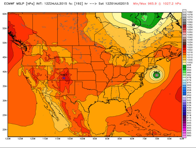
DANNY A THREAT TO THE EAST COAST? Look for low pressure to develop over the coast of the Carolinas by Tuesday. This system will be tropical in nature and should become Hurricane Danny as it skirts the Outer Banks and heads northeast. The most likely path looks like it will carry it just east of Long Island and Cape Cod, staying far enough at sea to preclude serious impact for the Northeast and New England, but recent runs of the operational European have included an impact on Long Island and eastern Massachusetts. We will be watching.
WEATHERBRAINS:. Fantastic show this week with Dr. Jason Persoff, a Medical Doctor from Denver who is an accomplished storm chaser. He gave a riveting account of his experience in Joplin, Missouri during the deadly tornado from 2011. Check out the weekly netcast that’s all about weather at www.WeatherBrains.com. You can also subscribe on iTunes. You can watch the show live at live.bigbrainsmedia.com. You can also see the show on the James Spann 24×7 weather channel on cable or directly over the air on the dot 2 feed.
Category: Alabama's Weather
About the Author (Author Profile)
Bill Murray is the President of The Weather Factory. He is the site's official weather historian and a weekend forecaster. He also anchors the site's severe weather coverage. Bill Murray is the proud holder of National Weather Association Digital Seal #0001 @wxhistorianSubscribe
If you enjoyed this article, subscribe to receive more just like it.


