

A Mostly Sunny, Hot Sunday
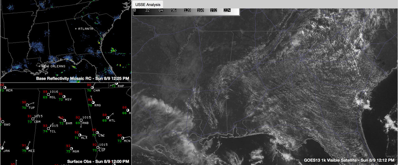
Subtle factors point to fewer showers and storms today across Central Alabama. Precipitable water values were about the same on the Birmingham morning balloon release (1.58” vs. 1.64”). The telling factor is the low level lapse rate. It is less volatile that the one yesterday, which will make it harder for showers to form.
The ones that do form will encounter similar mid-level lapse rates to those of yesterday. So any showers that do form will become healthy storms. But there is a good chance there won’t be any. We will be watching.
Highs today will be warmer than those of yesterday. By noon, temperatures at first order stations across Central Alabama had all reached 90F. It was already 93F at Tuscaloosa.
A decent cumulus field formed along and south of the I-59 Corridor as the mercury reached the convective temperature. As temperatures continue to warm over northwestern counties, the ubiquitous summer clouds will appear there as well. Overnight lows tonight will be in the middle 70s for the most part.
Category: Alabama's Weather
About the Author (Author Profile)
Bill Murray is the President of The Weather Factory. He is the site's official weather historian and a weekend forecaster. He also anchors the site's severe weather coverage. Bill Murray is the proud holder of National Weather Association Digital Seal #0001 @wxhistorianSubscribe
If you enjoyed this article, subscribe to receive more just like it.


