

A Few Storms Tonight; Lower Humidity Wednesday
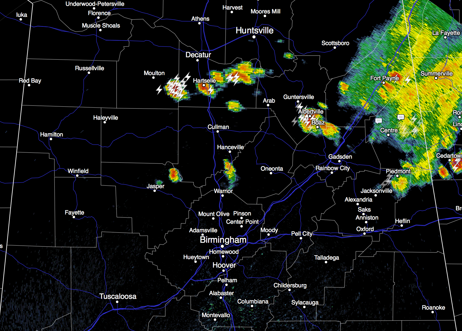
RADAR CHECK: Strong storms continue to develop across North Alabama this afternoon… moving east…
We will maintain the risk of showers and storms tonight into tomorrow morning with the approach of a surface front (we never call them “cold” fronts in August)… some of you might hear some pre-dawn thunder with these storms early tomorrow.
Then, by tomorrow afternoon, the main threat of showers and storms will shift down into South Alabama as the front continues to work southward. The sky becomes partly sunny over the northern counties, with a high in the low 90s.
WEDNESDAY/THURSDAY: Dry, continental air will drop down into North and Central Alabama on these days, making it feel very comfortable for August. Highs will be in the 88-91 degree range, humidity levels will be lower, and nights will be cooler. We hit the mid 60s early Thursday, with some of the cooler spots dropping down to near 60. Sunny days, clear nights.
FRIDAY AND THE WEEKEND: Moisture will begin to return; a few “pop up” afternoon storms are possible Friday, and we will forecast very typical summer weather for Saturday and Sunday. Partly sunny days with the risk of “scattered, mostly afternoon and evening showers and thunderstorms”. Highs over the weekend will be very close to 90 degrees.
We will go with a persistence forecast into early next week; we do note the 12Z GFS shows a closed upper low over New Orleans Monday; no confidence that will actually develop. See the Weather Xtreme video for maps, graphics, and more details.
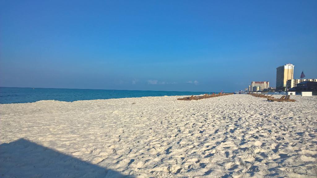
GULF COAST WEATHER: We project about 7 to 9 hours of sunshine daily on the coast from Panama City west to Gulf Shores through the weekend, with a passing storm from time to time. Photo below is from Panama City Beach this morning (from @gakawell)
Highs on the immediate coast will be in the upper 80s, with low to mid 90s inland. Sea water temperatures are mostly in the low to mid 80s.
TROPICS: The Atlantic basin remains very quiet, and tropical storm formation is not expected this week.
WEATHER BRAINS: Don’t forget you can listen to our weekly 90 minute netcast anytime on the web, or on iTunes. This is the show all about weather featuring many familiar voices, including our meteorologists here at ABC 33/40. We will produce this week’s show tonight at 8:30 CT… you can watch it on “James Spann 24/7” on cable systems around the state, or on the web here.
CONNECT: You can find me on all of the major social networks…
Facebook
Twitter
Google Plus
Instagram
Look for the next Weather Xtreme video here by 7:00 a.m. tomorrow….
Category: Alabama's Weather
About the Author (Author Profile)
James Spann is one of the most recognized and trusted television meteorologists in the industry. He holds the AMS CCM designation and television seals from the AMS and NWA. He is a past winner of the Broadcast Meteorologist of the Year from both professional organizations.Subscribe
If you enjoyed this article, subscribe to receive more just like it.


