

Refreshing Airmass Arrives Tonight
COLD FRONT ON THE WAY: We will mention the risk of a few widely scattered showers and thunderstorms along that front this afternoon, but the air over Alabama is relatively dry and stable for August, so the showers should be pretty widely spaced, and many communities will be dry today. The high this afternoon will be in the 87 to 90 degree range, and the sky will be partly sunny.
Interesting to note that, in Birmingham, we have gone 8 consecutive days with a high under 90 degrees. Pretty amazing for August.
REST OF THE WEEK: A very nice preview of fall, with sunny days, lower humidity, and cooler nights. Highs drop into the mid 80s tomorrow though Thursday, with lows in the 58 to 62 degree range. Cooler pockets will drop down into the low to mid 50s early Wednesday morning. It will feel very refreshing. Friday will stay dry, with the high creeping up into the upper 80s.
THE ALABAMA WEEKEND: Moisture will increase east of Alabama, with some risk of showers over Georgia and South Carolina, but around here we will keep the forecast generally dry, with highs around 90, and lows in the mid to upper 60s. A few showers could show up over far East Alabama Sunday afternoon.
NEXT WEEK: It will be warmer, with highs closer to 90 degrees as September begins. No sign of any big rain event… see the Weather Xtreme video for maps, graphics, and more details.
AT THE BEACH: Looking great this week; mostly sunny days, fair nights, and only isolated showers or storms from Gulf Shores west to Panama City Beach. Highs in the 80s; sea water temperatures in the mid 80s. See the complete Gulf Coast 7 Day Planner here. The Gulf Coast Beach Forecast is presented by Gulf Shores Plantation by Mandoki Hospitality Vacation Rentals. Escape to Gulf Shores Plantation where memories last a lifetime.
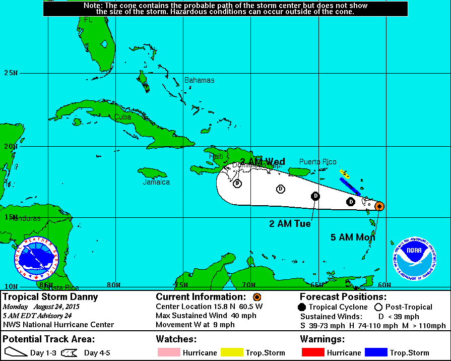
DANNY: Now, weakening tropical storm near the Leeward Islands, the system is expected to dissipate along the southern coast of Hispaniola Wednesday.
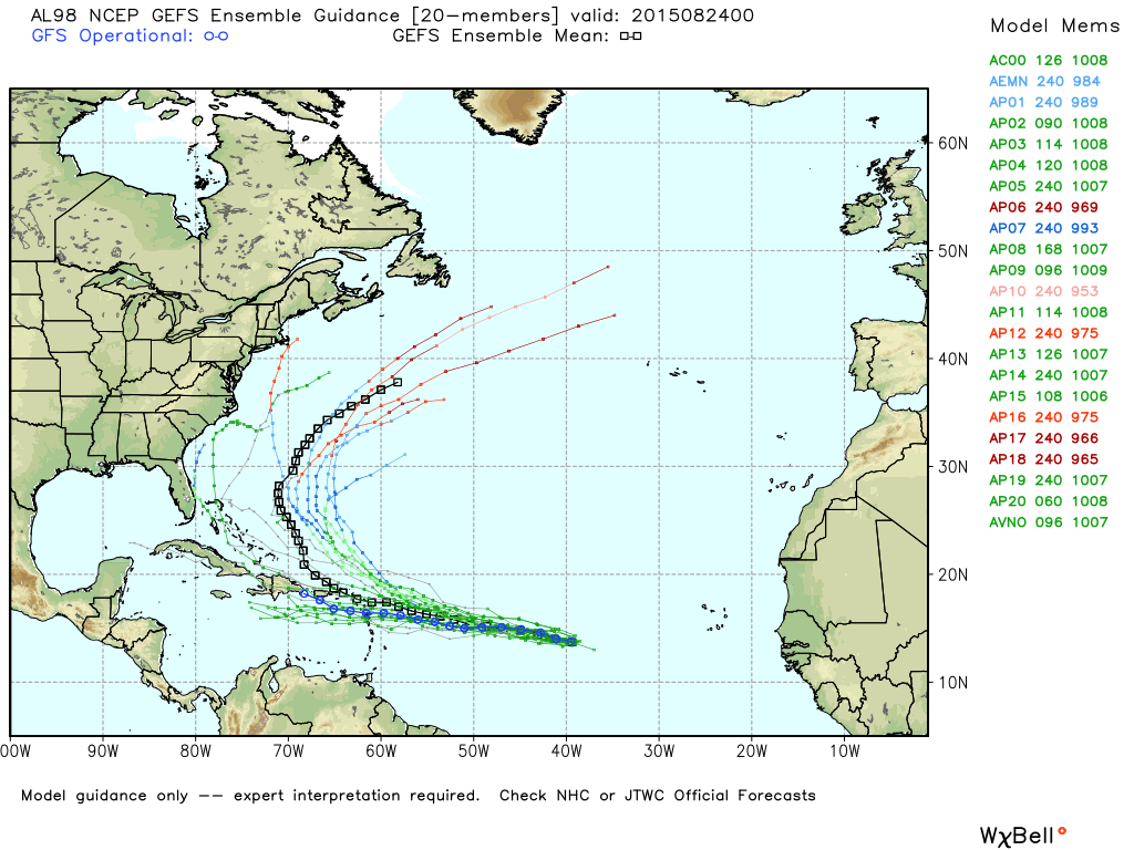
REST OF THE TROPICS: A well organized tropical wave in the eastern Atlantic (around 45W) has a good chance to become Tropical Storm Erika in coming days, but steering currents will likely turn this north, and then northeast into the open Atlantic without being a threat to the U.S. mainland.
There is one more wave being monitored southwest of the Cape Verde islands, but development is not expected there. See the Weather Xtreme video for maps, graphics, and more details.
WEATHER BRAINS: Don’t forget you can listen to our weekly 90 minute netcast anytime on the web, or on iTunes. This is the show all about weather featuring many familiar voices, including our meteorologists here at ABC 33/40. We will produce this week’s show tonight at 8:30p CT… it is show number 500! You can watch it on “James Spann 24/7” on cable systems around the state, or on the web here.
CONNECT: You can find me on all of the major social networks…
Facebook
Twitter
Google Plus
Instagram
Look for the next Weather Xtreme video here by 4:00 this afternoon… enjoy the day!
Category: Alabama's Weather
About the Author (Author Profile)
James Spann is one of the most recognized and trusted television meteorologists in the industry. He holds the AMS CCM designation and television seals from the AMS and NWA. He is a past winner of the Broadcast Meteorologist of the Year from both professional organizations.Subscribe
If you enjoyed this article, subscribe to receive more just like it.


