

Erika Forms
The NHC has named the system in the Central Atlantic about 950 miles east of the Leeward Islands tonight. It is Tropical Storm Erika.
Here are the Fast Facts on Erika:
SUMMARY OF 1100 PM AST…0300 UTC…INFORMATION
———————————————–
LOCATION…14.4N 47.7W
ABOUT 955 MI…1535 KM E OF THE LEEWARD ISLANDS
MAXIMUM SUSTAINED WINDS…45 MPH…75 KM/H
PRESENT MOVEMENT…W OR 275 DEGREES AT 20 MPH…31 KM/H
MINIMUM CENTRAL PRESSURE…1003 MB…29.62 INCHES
Erika is in a favorable environment for intensification with an envelope of moisture, low shear and warm water. That should continue for at least 48 hours before it encounters some shear. It is expected to become a strong tropical storm, but could become a hurricane, as depicted by the HWRF model.
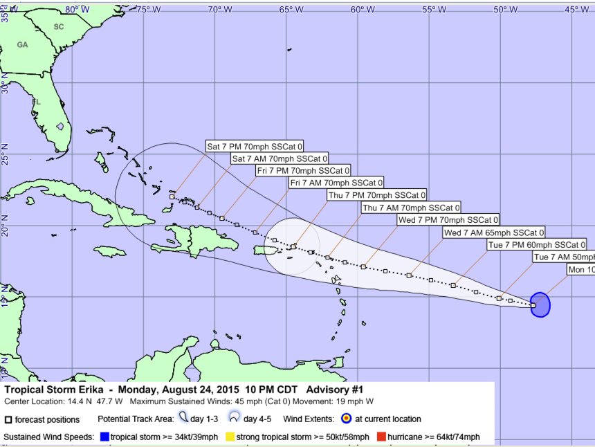
There is some uncertainty in track, but there is a good chance this could affect the United States. If it is weaker, it could be shunted south toward the Gulf of Mexico. A stronger storm would be pulled further north and could be near the Bahamas by the end of the wekeend, with a threat to the East Coast.
Erika will be interesting to watch.
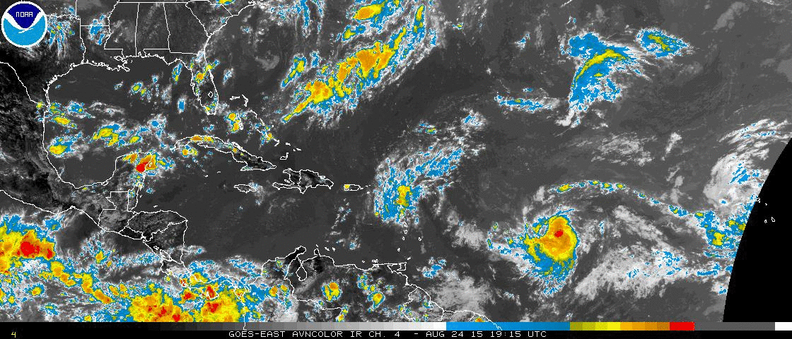
Danny dissipated this morning as expected over the northern Leeward Islands.
Category: Tropical
About the Author (Author Profile)
Bill Murray is the President of The Weather Factory. He is the site's official weather historian and a weekend forecaster. He also anchors the site's severe weather coverage. Bill Murray is the proud holder of National Weather Association Digital Seal #0001 @wxhistorianSubscribe
If you enjoyed this article, subscribe to receive more just like it.


