

Time For A Cool Change
Brian Peters is working an event at the Barber Motorsports Park this morning, so he left the keys to the Weather Xtreme sports car on the table for me. Let’s take the weather for a spin.
I am reminded on the Little River Band song from the 70s, Cool Change, this morning. Indeed, a cool change is well underway across North and Central Alabama thanks to a very strong, late summer upper trough progressing across the eastern U.S. Its axis extends from Detroit to Birmingham this morning and it is booking it eastward.
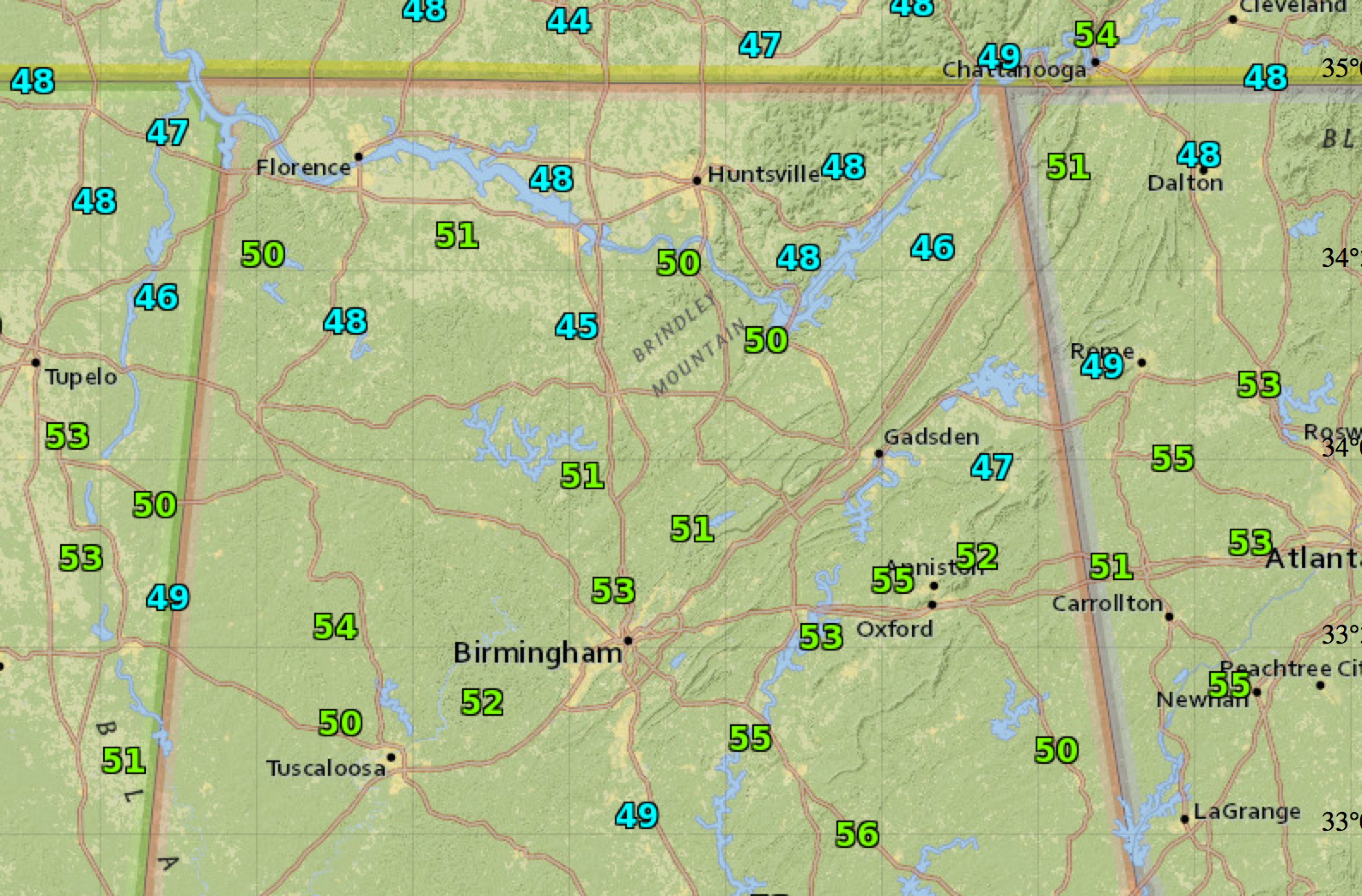
Temperatures are in the 40s in many spots across North Central Alabama, including 45F at Cullman.
It has pushed a strong cold front well into the Gulf of Mexico this morning. That front is getting ready to works its way off the East Coast today, with a surface low near New York City acting as the last weather troublemaker for this system. Showers and storms are happening this morning in New England in the meager warm sector.
The front has scoured out all of the moisture and high pressure centered near Little Rock is keeping the Gulf of Mexico shut off for the Deep South. On the back side of the anticyclone, you can see preciptable water values creeping back up to around one inch across the southern Plains, in places like Wichita, Oklahoma City and Dallas. 1.5 inch amounts have worked back into the Texas Hill Country.
This moisture return will be the key to our forecast as we head through the upcoming week. The cool morning temperatures and low humidities will continue through Tuesday. By Wednesday, it will feel quite muggy again as dewpoints in the middle 60s return and the mercury warms back into the seasonable middle 80s for highs. Lows will be in the middle 60s.
We could see a scattered shower or storm on Wednesday it appears as the high pressure system moves to off Martha’s Vineyard and allows some Atlantic moisture to work into Alabama from the east. You guessed it, the infamous easterly wedge. It can be troublesome in winter and deal us fits at other times of the year, but here it will only bring a little more cloudiness and moisture for a widely scattered shower or storm at midweek.
By the end of the week, we will turn our eyes to the northwest as another front tries to works its way into the area, but an extension of the upper level high over Texas acts as a deflector shield and keeps the front at bay through the weekend if we believe the GFS. A check of the European shows it concurs, so we will keep the weekend forecast dry, which is nice for football fans who will making their weekly pilgrimages to college football temples on Saturday.
Out in voodoo territory, past the 7 day window, we see that front languishing around through much of the following week, with scattered showers and storms in our forecast. An active front makes it through here around Friday the 25th, perhaps spelling trouble for high school games again that week, much like this past Friday night.
BEACHBOUND: The light rain and clouds from Saturday are gone and the weather today and tomorrow is going to be spectacular. The chance of rain drops to 0% and clear, sunny skies return, with great weather through Tuesday before rain chances begin to increase. As far as temperatures, overnight lows will be in the 60s to low 70s, while afternoon highs will range from the lower to mid 80s, making it feel like fall is on its way! By the end of the weekend, as a front clears the area, highs will dip down into the lower 80s, with overnight lows in the lower 60s. Gulf Coast 7 Day Planner here . The Gulf Coast Beach Forecast is presented by Gulf Shores Plantation by Mandoki Hospitality Vacation Rentals. Escape to Gulf Shores Plantation where memories last a lifetime.
TROPICS: The Tropical Atlantic is amazingly quiet for just three days past the climatological peak of the hurricane season. The remnants of Tropical Storm Grace are over the northeastern Caribbean, the graveyard of 2015 tropical cyclones. A tropical wave midway between the islands and Africa has a pretty good shot of becoming a tropical cyclone this week, but it will turn northward well east of the islands. It looks like no threat to the U.S. mainland through the end of September.
WEATHERBRAINS: The Weather Channel is in the midst of a major shakeup. In fact, word is they may actually start focusing on weather again. TWC President David Clark will be on the hotseat Monday night. Check out the weekly netcast that’s all about weather at www.WeatherBrains.com. You can also subscribe on iTunes. You can watch the show live at . You can also see the show on the James Spann 24×7 weather channel on cable or directly over the air on the dot 2 feed.
James will be back with the morning Weather Xtreme video tomorrow. I will have a forecast update early this afternoon. Check out Ryan Stinnett’s current 7 day forecast here.
Category: Alabama's Weather
About the Author (Author Profile)
Bill Murray is the President of The Weather Factory. He is the site's official weather historian and a weekend forecaster. He also anchors the site's severe weather coverage. Bill Murray is the proud holder of National Weather Association Digital Seal #0001 @wxhistorianSubscribe
If you enjoyed this article, subscribe to receive more just like it.


