

Warm Weekend; Rain Threat Low
Your Saturday morning is starting out with mostly clear skies across North and Central Alabama with some spots reporting fog, but fortunately the fog does not appear to be very thick nor widespread. And the fog should lift or burn off before 9 am. For the rest of the day we’ll be dealing with a cold front – and I use that term very loosely – that will be traversing slowly across the Southeast US. But there will not be much contrast in temperature with the frontal zone, and with the air getting drier, the threat of any showers or rain is quite small.
There is only a marginal risk for severe storms and that is located in the eastern Great Lakes area, far from Central Alabama. Sunday there is a marginal risk over Oklahoma with only general thunderstorms forecast by SPC into Monday.
The tropics are fairly active – which is actually pretty typical for September as this is the time for the greatest tropical storm activity in the Atlantic Basin. However, even with two areas of disturbed weather and Tropical Storm Ida, there is no real threat to any land areas and the combination of dry air and reasonably strong shear are keeping any strengthening of any of these areas in check. Ida is forecast to slowly strengthen, but even that storm is not forecast to reach hurricane strength in the next five days.

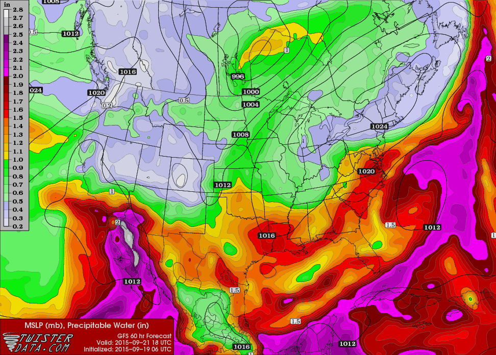
The cold front will push into South Alabama as we head into Sunday and Monday, but its motion will be slow until the upper trough over Iowa catches up with it on Monday. This brings us our best chance for showers, however, as you’ll see in the video, precipitable water values will be low with only weak lift all of which translates to low probability for showers, 20 to 30 percent at most.
The upper trough is forecast to sharpen a bit on Tuesday as it moves to the East Coast of the US. This is where the forecast becomes somewhat challenging. The main westerlies will be way north of us in Canada, so the upper trough is forecast to cut off into a weak closed low. That closed low is forecast to retrograde or move slowly westward, but the GFS is keeping it east of Alabama, so with dry air and northwesterly flow, we should stay dry through mid-week.
The closed low is expected to open up on Friday and Saturday in response to the passage of a deep trough over southern Canada. This trough should pick up our closed low and open it up as it heads east further away from Alabama. This should pave the way for a dry and mild weekend with temperatures coming in right around the values we expect for this time of the year, highs in the lower to mid 80s and lows in the lower to mid 60s.
Looking out into voodoo country brings a peek at something that will pique the interests of weather enthusiasts. Much of week 2 is dominated by an upper ridge over the eastern half of the country. But as we get out to the end of the long range time period, the GFS is bringing an upper low along with a surface low into Florida from the tropics. Could this be a tropical system, perhaps a tropical storm? Right now, just about all possibilities are on the table, but you know the drill – this whole feature may be long gone in the next model run. But certainly something to capture the eye of us weather nerds, er, enthusiasts.
I had a wonderful time yesterday getting to meet someone that I’ve admired for several years. Jeanne Robertson was in town for a show at The Alabama Theater, and I was able top talk her into coming on the Midday News on ABC 3340. So I got to meet her and chat with her for nearly an hour prior to the her appearance on television. Then my wife and I had tickets to her show last night which was superb. And she was very encouraging for me to continue developing my storytelling skills. The next Weather Xtreme Video will be here first thing on Sunday morning. Enjoy the day and Godspeed.
-Brian-
Category: Alabama's Weather
About the Author (Author Profile)
Brian Peters is one of the television meteorologists at ABC3340 in Birmingham and a retired NWS Warning Coordination Meteorologist. He handles the weekend Weather Xtreme Videos and forecast discussion and is the Webmaster for the popular WeatherBrains podcast.Subscribe
If you enjoyed this article, subscribe to receive more just like it.


