

Looking Warm and Mostly Dry
Central Alabama is waking up to mostly clear skies and like yesterday there is a little fog being reported in a few locations, but visibilities were not severely restricted. The fog should quickly burn off by 8 am or so with a mostly sunny day in store for Central Alabama. The front we spoke of yesterday has worked its way into Central Alabama this morning with little effect on our weather. There were three small showers in Northwest Alabama last evening but those quickly dissipated by 10 pm. The same thing is possible today with only very small chances that we’ll see any showers as the front sags slowly southward into South Alabama where it will linger for awhile. Temperatures today should top out with highs in the upper 80s, and I doubt that any stations will tip into the 90s as we saw yesterday.
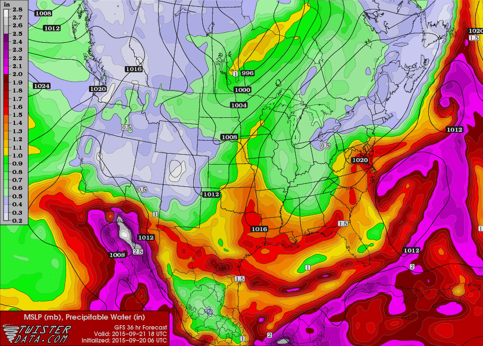
The Storm Prediction Center (SPC) has only a marginal area defined today in Oklahoma and the Texas Panhandle, with only general thunderstorms forecast for Day 2 and 3. Tropical Depression Nine bit the dust last night. The disturbed area located about 300 miles east of Jacksonville, FL, has remained weak with no signs of any storm formation. Ida remained a tropical storm this morning, and it is likely to stay that way as it moves slowly northwestward over the next five days bucking a hostile environment.

Beautiful weather will continue along the Gulf Coast today and into the week ahead. Each day expect 7 to 9 hours of sunshine through early next week from Gulf Shores east to Panama City Beach, with only an isolated shower possible with highs in the mid-80s. Sea water temperatures are in the upper 70s and lower 80s. You can find the complete Gulf Coast 7 Day Planner here. The Gulf Coast Beach Forecast is presented by Gulf Shores Plantation by Mandoki Hospitality Vacation Rentals. Escape to Gulf Shores Plantation where memories last a lifetime.
The upper air pattern at 500 millibars has a trough moving by us tonight and early Monday. But on Tuesday the southern portion of the trough is going to lose its connection with the main trough well north in Canada. The result is a trough or small closed low hanging back in the vicinity of the Southeast US coast. The closed low will meander with a slight westward drift into next weekend. By next Sunday, that closed low will be in the vicinity of eastern North Carolina. So with the closed low remaining just east of Alabama, we should stay dry. With the northerly flow, temperatures should stay pretty close to seasonal values with highs in the mid 80s and lows in the lower and middle 60s. The 30-year average high and low for Birmingham is 84 and 63.
The pattern that is being forecast suggests that there should be no problems for Thursday or Friday evening high school football games with evening temperature in the 70s.
Looking out into voodoo country or week 2, the GFS has gone to a pattern with a ridge over the southern US. And if you saw the video yesterday, that potentially tropical system over Florida around October 1st is nowhere to be found in the 06Z run this morning. Shucks, I was enjoying having something interesting to watch. Maybe there’s hope that it will be back in the model run tomorrow morning.
James Spann will be back with the next edition of the Weather Xtreme Video bright and early on Monday morning. Remember, you can always checkbook here to catch the latest on the Alabama weather scene. Godspeed.
-Brian-
Category: Alabama's Weather
About the Author (Author Profile)
Brian Peters is one of the television meteorologists at ABC3340 in Birmingham and a retired NWS Warning Coordination Meteorologist. He handles the weekend Weather Xtreme Videos and forecast discussion and is the Webmaster for the popular WeatherBrains podcast.Subscribe
If you enjoyed this article, subscribe to receive more just like it.


