

Rain At Times Today; Cooler Air By Thursday
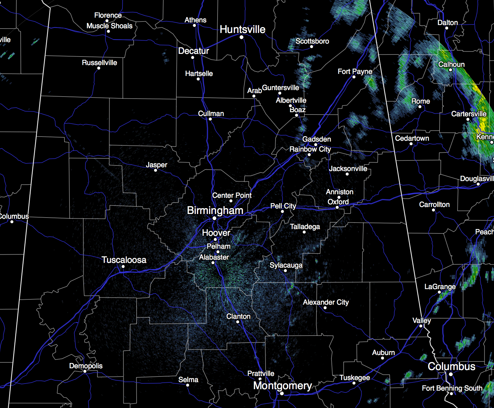
RADAR CHECK: Low clouds cover Alabama this morning, and while we have some light drizzle in spots, the radar is pretty quiet at daybreak…
With a surface low lifting northward from the Gulf of Mexico, and an upper trough approaching from the west, we will forecast a few periods of rain across North/Central Alabama today. Nothing especially heavy (amounts generally under 1/2 inch), and probably no thunder. Temperatures will peak around 80 degrees this afternoon.
TOMORROW: The sun breaks out at times, and we will hang on to the risk of a few lingering showers in scattered spots. The high will be at or just above 80 degrees in most communities.
THURSDAY THROUGH THE WEEKEND: Dry, cool, continental air begins to spread into the state Thursday, and the stage is set for some delightful early autumn weather on these four days. Sunny during the day, clear at night. Highs in the mid 70s, lows down in the low 50s, with 40s likely for colder pockets across North/Central Alabama. It really doesn’t get much better.
FOOTBALL WEATHER: Auburn hosts San Jose State Saturday at Jordan Hare Stadium (3:00p CT kickoff)… the weather looks perfect with a sunny sky and a kickoff temperature near 72 degrees, falling into the 60s by the fourth quarter. Alabama will take on Georgia at Athens Saturday (2:30p CT kickoff); the sky will be partly to mostly sunny; temperatures will fall from near 73 at kickoff into the 60s by the fourth quarter.
NEXT WEEK: The dry, pleasant weather continues through at least the first half of the week… see the Weather Xtreme video for maps, graphics, and more details.
TROPICS: A broad tropical low over the Northeast Gulf of Mexico will move inland without developing into a depression or storm. And, over in the Atlantic, Tropical Storm Joaquin has formed east of the Bahamas with sustained winds of 40 mph.
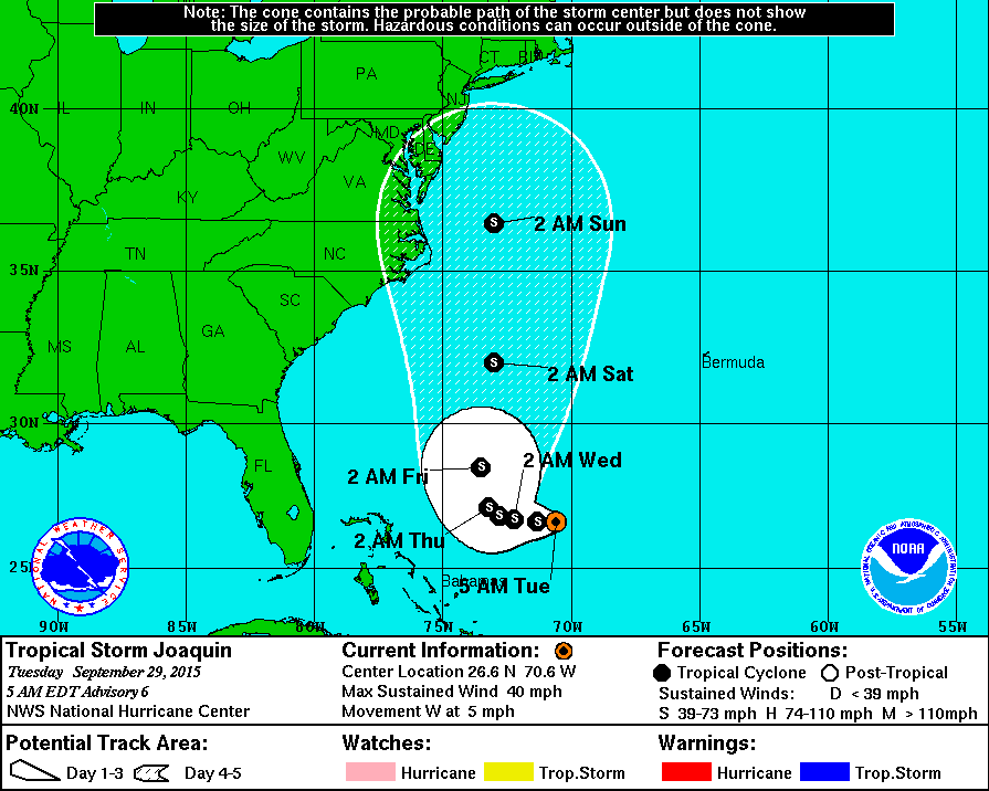
Confidence in the forecast track is low at this point, but one way or another this has potential to be a high impact event for the Northeast U.S. as Joaquin interacts with moisture from the tropical low in the Gulf moving along a cold front approaching that region from the west. Heavy rain, coastal flooding, and beach erosion is likely from the Outer Banks of North Carolina north to the coast of Maine later this week and over the weekend. We also note many of the intensity models ramp Joaquin up to a category one hurricane in 72-96 hours.
But, for us in Alabama, this will simply help to funnel cool, dry air into our state.
AT THE BEACH: Scattered showers remain possible on the coast from Gulf Shores over to Panama City Beach today and tomorrow with limited sunshine, but the weather looks delightful Thursday through the weekend with mostly sunny days and fair nights. Highs mostly in the low 80s… See the complete Gulf Coast 7 Day Planner here. The Gulf Coast Beach Forecast is presented by Gulf Shores Plantation by Mandoki Hospitality Vacation Rentals. Escape to Gulf Shores Plantation where memories last a lifetime.
WEATHER BRAINS: Don’t forget you can listen to our weekly 90 minute netcast anytime on the web, or on iTunes. This is the show all about weather featuring many familiar voices, including our meteorologists here at ABC 33/40. Scroll down for the show notes on the new episode we produced last night.
CONNECT: You can find me on all of the major social networks…
Facebook
Twitter
Google Plus
Instagram
I will be speaking to a group of senior adults in Winfield this morning… look for the next Weather Xtreme video here by 4:00 this afternoon. Enjoy the day!
Category: Alabama's Weather
About the Author (Author Profile)
James Spann is one of the most recognized and trusted television meteorologists in the industry. He holds the AMS CCM designation and television seals from the AMS and NWA. He is a past winner of the Broadcast Meteorologist of the Year from both professional organizations.Subscribe
If you enjoyed this article, subscribe to receive more just like it.


