

Cloudy, Cool, Wet At Times
FEELS LIKE FALL: Temperatures are only in the mid 60s across much of North/Central Alabama this afternoon… about 15 degrees below average for the first day of October. Clouds cover the state, and there are patches of light rain and drizzle.
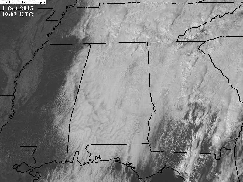
An upper low forming overhead will keep the weather cool, and wet at times through the beginning of the weekend. Expect periods of mostly light rain tonight, tomorrow, and Saturday with clouds hanging tough. The heavier rain totals will be over the eastern half of the state, with lighter amounts to the west. A very good chance we won’t get out of the 60s tomorrow and Saturday because of the clouds and occasional light rain.
The latest GFS run hints we need to hang on to some risk of a shower or two, mainly south and east of Birmingham, Sunday. Nothing widespread, and the sun should be out at times. The high Sunday will be in the low 70s.
NEXT WEEK: An upper ridge begins to rebuild, meaning warmer afternoons. A decent chance we reach the low 80s Monday through at least Wednesday, with sunny days and fair pleasant nights. See the Weather Xtreme video for maps, graphics, and more details.
FOOTBALL WEATHER: For high school games across the state tonight and tomorrow night, the sky will be cloudy with light rain possible. Temperatures will be in the 60s during the games.
Auburn hosts San Jose State Saturday at Jordan Hare Stadium (3:00p CT kickoff)… the sky will be cloudy with some light rain possible at times. Expect a kickoff temperature near 67 degrees, falling into the low to mid 60s by the fourth quarter. Alabama will take on Georgia at Athens Saturday (2:30p CT kickoff); rain is likely with temperatures in the low to mid 60s. No lightning delays are expected. Take the rain gear.
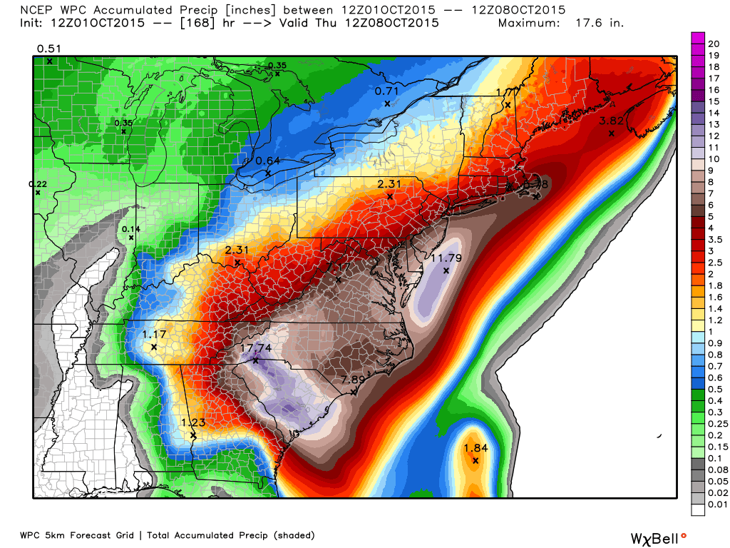
JOAQUIN: The hurricane over the Central Bahamas is now a category four storm, with sustained winds of 130 mph. The 12Z model set continues to adjust to the right, in line with the European model solution offered all week, meaning confidence is increasing that the hurricane will not make landfall on the East Coast of the U.S.
But, we stress a serious flooding threat continues for the Carolinas and Virginia due to the synoptic scale pattern not related to the hurricane. Additional rain amounts over 15 inches are possible in parts of the Carolinas between now and Monday.
AT THE BEACH: Just a few widely scattered showers from Gulf Shores east to Panama City tomorrow, otherwise mostly sunny days and fair nights through early next week with highs mostly in the 70s. See the complete Gulf Coast 7 Day Planner here. The Gulf Coast Beach Forecast is presented by Gulf Shores Plantation by Mandoki Hospitality Vacation Rentals. Escape to Gulf Shores Plantation where memories last a lifetime.
WEATHER BRAINS: Don’t forget you can listen to our weekly 90 minute netcast anytime on the web, or on iTunes. This is the show all about weather featuring many familiar voices, including our meteorologists here at ABC 33/40.
CONNECT: You can find me on all of the major social networks…
Facebook
Twitter
Google Plus
Instagram
I enjoyed seeing the second graders today at The Westminster School at Oak Mountain… be looking for them on the Pepsi KIDCAM today at 5:00 on ABC 33/40 News! The next Weather Xtreme video will be posted here by 7:00 a.m. tomorrow…
Category: Alabama's Weather
About the Author (Author Profile)
James Spann is one of the most recognized and trusted television meteorologists in the industry. He holds the AMS CCM designation and television seals from the AMS and NWA. He is a past winner of the Broadcast Meteorologist of the Year from both professional organizations.Subscribe
If you enjoyed this article, subscribe to receive more just like it.


