

Uneventful Weather for an EventFULL Saturday
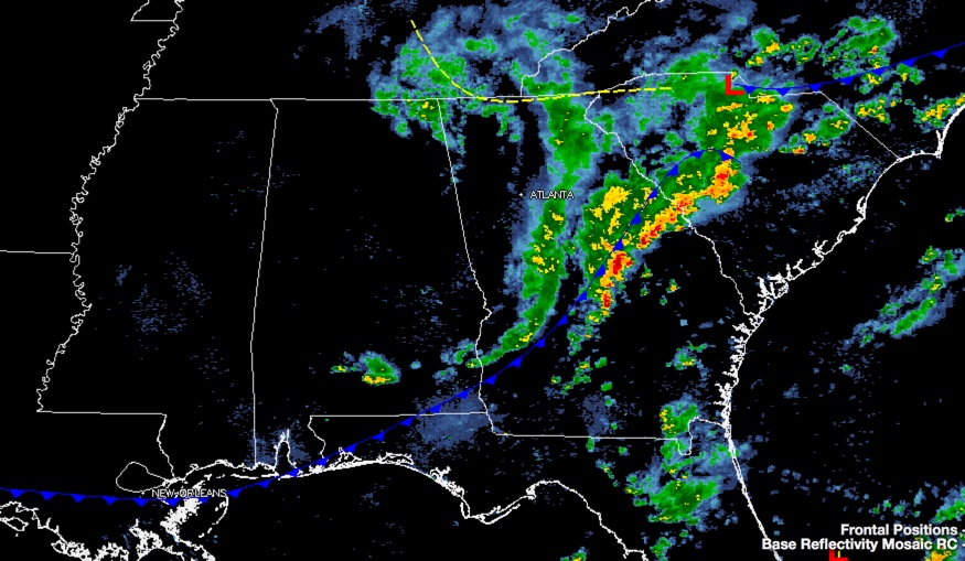
An approaching cold front brought showers and storms to the state during the overnight after a very warm Friday afternoon. The storms weren’t strong, but there was enough instability for lightning. They also produced heavy rain and gusty winds. Our cold front is positioned over far South Alabama this morning. A few leftover showers are over Northeast Alabama, near the center of the upper level disturbance that has helped to trigger them. The rest of Central Alabama is dry except for some patchy drizzle.
SATURDAY’S SLOW SUNSHINE RETURN: Clouds will slowly break up this morning and be just an evaporating field of stratocumulus clouds as drier air moves into the state behind the front. It may be a little breezy at times behind the front, with a fresh northerly wind, and temperatures will be cooler, topping out in the middle 70s in the I-20 Corridor, ranging to near 80F in the US-80 Corridor. Temperatures will fall quickly after sunset. But all in all, great weather for the many events going on across Alabama today, like the Barber Vintage Motorcycle Festival out at the Barber Motorsports Park, and Homecoming at the Capstone.
FOOTBALL FORECAST: Alabama will host Arkansas at Bryant-Denny Stadium this evening (6:00p CT kickoff)… the sky will be mostly fair, with temperatures falling from 68 degrees at kickoff into the low 60s by the final whistle. Some will want a light jacket or sweater walking from the stadium back to your car after the game. Auburn has a bye this week.
SUNNIER SUNDAY: Tomorrow will get off to a refreshing start, with lots ranging between 46F at Hamilton, 55F at Birmingham and 58F at Montgomery. Skies should be mainly clear. The trough that delivered this dose of delightful October weather to us will be trying to close off into one of those pesky upper lows tomorrow over the Carolinas. It might be able to wrap a few clouds back into Alabama from the east tomorrow. Can’t even rule out a shower over eastern sections Sunday night, but the chance looks very small.
THE WEEK AHEAD: Another trough will begin pushing toward Alabama on Monday and we will see increasing clouds during the day. Highs will warm to near 80F. Showers should arrive in the state around 9 p.m., but they will find very little instability to work with, so thunder should be limited. Rainfall amounts will be very light. They will be over by Tuesday morning. Skies should clear fairly quickly during the day Tuesday. Like today, Tuesday will be slightly cooler, with highs between 75F and 80F. The trough that brings this second front will be deep but weakening. It will set the stage for a shallow, broad trough to occupy the eastern half of the United States. A flat surface trough will dominate Alabama and the Gulf Coast’s weather. This should keep us in fine, seasonable weather into the weekend. Skies will be generally clear to partly cloudy. Highs will range between 77F and 80F. Lows will be in the very comfortable 50s. Wednesday morning will be the coolest morning, with widespread 40s across the northern half of the area.
WEEKEND SNEAK PEEK: High pressure over the Ohio Valley will sink southward for the weekend, keeping us in fine weather. There could be a little more cloudiness though, as some moisture gets caught under the dome of high pressure. Highs will be in the lower 70s, lows will be in the 50s.
TROPICS: The 2015 Atlantic Hurricane Season is not over yet. By Wednesday, we will be tracking a tropical wave into the western Caribbean. This wave should make it to the Yucatan by the weekend, steered around the subtropical high east of Florida. Once again, low pressure will form over the Peninsula by late Sunday and move into the southern Gulf of Mexico. This low could become tropical, and be a depression or even a tropical storm, but it should get swept east northeastward by another strong trough. It could threaten the Florida Keys but shouldn’t become strong.
GULF COAST WEATHER: Great weather today and tonight for the National Shrimp Festival and all of the long weekend beach goers along the beautiful beaches of Alabama and Northwest Florida. With a good supply of sunshine today through partly cloudy skies, beach highs should top out in the lower and middle 80s. The cold front will make the Gulf Coast later today, pushing highs back into the lower 80s again. Lows will be in the comfortable upper 50s. Water temperatures are running 75F-77F. Seas will run 1-2 feet through the weekend, and around 1 foot next week. This should lead to a low rip current threat through the rest of the week. See the complete Gulf Coast 7 Day Planner here. The Gulf Coast Beach Forecast is presented by Gulf Shores Plantation by Mandoki Hospitality Vacation Rentals. Escape to Gulf Shores Plantation where memories last a lifetime.
WEATHERBRAINS:. Great show this week with the incredible Dr. Chuck Doswell. Revere him or revile him, you have to respect him. Check out the weekly netcast that’s all about weather at www.WeatherBrains.com. You can also subscribe on iTunes. You can watch the show live at live.bigbrainsmedia.com You can also see the show on the James Spann 24×7 weather channel on cable or directly over the air on the dot 2 feed.
Category: Alabama's Weather
About the Author (Author Profile)
Bill Murray is the President of The Weather Factory. He is the site's official weather historian and a weekend forecaster. He also anchors the site's severe weather coverage. Bill Murray is the proud holder of National Weather Association Digital Seal #0001 @wxhistorianSubscribe
If you enjoyed this article, subscribe to receive more just like it.


