

Noon Time Update
Clouds have thickened across Alabama on this last day of January as moisture levels rise across the state in an increasing southerly flow near the surface and southwesterly flow aloft. The warm advection associated with that flow is offsetting the effects of the cloudiness over the area.
Temperatures as we approach the noon hour are in the middle 60s, heading for highs generally in the lower 70s. Dewpoints have jumped some 20 degrees since yesterday, and are now n the middle 50s, making the airmass feel a little more humid.
Winds have picked up as well, averaging some 10-20 mph and occasionally gusting to over 25 mph as a strong low level jet of 40 knots winds extending from Louisiana to Ohio mixes down to the surface.
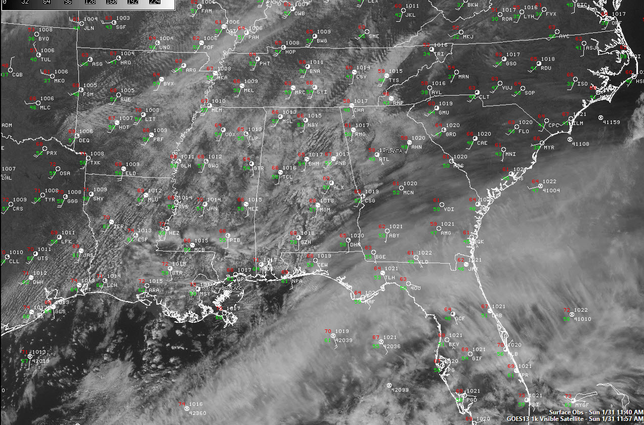
Regional radars are quiet for, with the nearest rain to Alabama currently some showers near Chicago. A few showers will start to show up later this afternoon as the airmass becomes more saturated, as lift associated with the low level jet continues and as a cold front currently entering northwestern Arkansas keeps inching southeastward.
Lows tonight will be in the middle and upper 50s. Rain chances will go up overnight, with a few scattered showers occurring. Rain chances will be in the 20-30% range. Rainfall amounts will be light, generally between 0.01 and 0.10 inches.
Monday will be a lot like today, with more clouds than sun, a lighter southerly breeze and highs in the upper 60s and lower 70s. There will be a few showers during the day, but they should be light, again generally between 0.01 and 0.10 inches.
Tuesday will be a warm, slightly humid and breezy day with mostly cloudy skies, although there will be occasional breaks in the clouds. The southerly flow and breaks will allow the mercury to climb to between 70-73F.
SEVERE THREAT
Damaging winds and a few isolated tornadoes are still in the cards for most of Alabama Tuesday afternoon and evening, generally west of a line from Heflin to Montgomery to Brewton. There is an enhanced severe weather threat for Northwest Alabama, including parts of Lauderdale, Colbert, Franklin and Marion Counties. where the severe weather will arrive closer to the time of peak heating and greatest instability. The greatest threat for tornadoes will in the enhanced severe weather risk area over Northwest Alabama and back into northern Mississippi, eastern Arkansas, western Tennessee and southern Kentucky. Damaging winds will be a threat through the period with a 60 knot low level jet centered right over Alabama. It will be easy to bring these winds down to the surface with any strong thunderstorm circulations. Hail may or may not be a threat.
INSTABILITY
Instability levels are still expected to be marginal, with CAPE values generally expected to be around 500 joules/kg. This is certainly sufficient for severe weather and the NAM and European models do shower slightly higher instabilities, between 500 and 1,000 j/kg. Mid level lapse rates are marginal, with temperature decreases in degrees C per 1 km running just over 6C.
WIND SHEAR
Wind shear values will peak around noon and then start coming down, but should be plenty sufficient in the afternoon and early evening to produce severe thunderstorms and even isolated tornadoes.
TIMING
The NAM shows more precipitation (rain and storms) during the morning with a more pronounced warm frontal type feature coming northward. It does get through the area in time for a break before the storms form during the afternoon. The GFS triggers them over Mississippi and moves them into Alabama. The NAM develops them over our state and has them stronger. In either case, it looks like the main window for severe weather will start around 3 p.m. in the Northwest and in the I-59 corridor between 6-9 p.m. These times are not set in stone and are subject to closer scrutiny as we get more data. Instability values should peak between 306 p.m., then start coming down.
Category: Alabama's Weather, Severe Weather
About the Author (Author Profile)
Bill Murray is the President of The Weather Factory. He is the site's official weather historian and a weekend forecaster. He also anchors the site's severe weather coverage. Bill Murray is the proud holder of National Weather Association Digital Seal #0001 @wxhistorianSubscribe
If you enjoyed this article, subscribe to receive more just like it.


