Alabama 811 | Know What's Below.

Archive for December 20th, 2012

Conditions Improving for Severe Weather

Conditions Improving for Severe Weather

| December 20, 2012 @ 5:29 am

Another low instability/high shear environment is developing for much of Alabama this morning. A look at some of these parameters shows high shear with helicity values running in the 500 to 900 range from Northwest Alabama to Southwest Alabama. Instability values are not very impressive with CAPE values running at or below 1000 jg/kg across […]

Read More

Line Moving Faster

Line Moving Faster

| December 20, 2012 @ 5:18 am

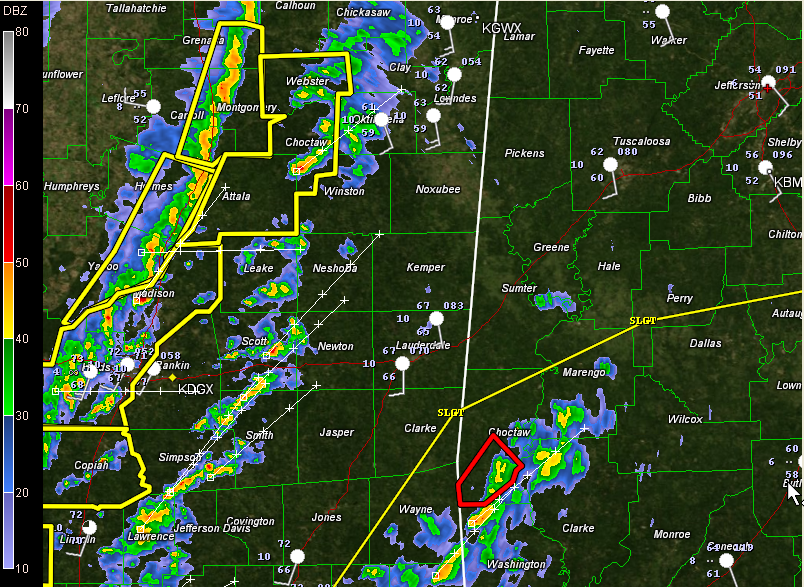
Our line of thunderstorms (or really intense showers, since it has little lightning) has surged ahead this morning ahead of a strong cold front and is moving a little faster toward Central Alabama. Instability is increasing over West Central Alabama rapidly and there is a very high amount of wind shear. Any updrafts that form […]

Read More

Tornado Warned Storm in Mobile

Tornado Warned Storm in Mobile

| December 20, 2012 @ 4:55 am

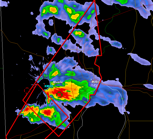
Strong storm capable of producing tornado approaching downtown Mobile. This storm has looked impressive on radar as it has moved in off the Gulf into southern Mississippi, now affecting the City of Mobile. We ware watching for similar storms across the southern part of our area. The isolated storms ahead of the main line in […]

Read More

Tornado Watch until Noon

Tornado Watch until Noon

| December 20, 2012 @ 4:23 am

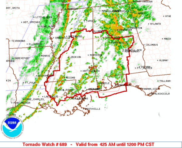
Tornado watch issued for much of Central and Southern Alabama until Noon today. Does not include Jefferson County or the City of Birmingham, but does include Tuscaloosa, Montgomery and Mobile. Strong thunderstorms capable of producing tornadoes are developing out ahead of the main line of thunderstorms. IN ALABAMA THIS WATCH INCLUDES 16 COUNTIES AUTAUGA, BIBB, […]

Read More

3:30 AM Update

3:30 AM Update

| December 20, 2012 @ 3:21 am

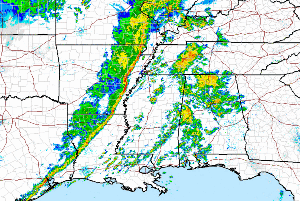
Showers and few rumbles of thunder are moving across Central Alabama this morning. None of which are severe, but there are several areas of heavy downpours. Heavy rain moving through Birmingham, Tuscaloosa and Huntsville. The main severe weather continues to be off to the west, as a very strong line of thunderstorms is crossing the […]

Read More

1:30 a.m. Update

1:30 a.m. Update

| December 20, 2012 @ 1:35 am

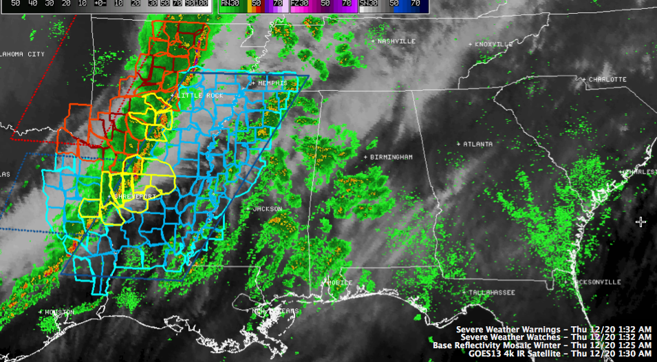
Our line of thunderstorms continues to move east this morning. It has just passed through Shreveport on I-20, where a few trees were reported down on West Lakeshore Drive at 1 a.m. There have been at least 41 reprots of high wind since just after 8 p.m. last night. Four severe thunderstorms warnings are in […]

Read More