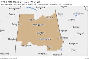
Wind Advisory for All of Central Alabama for Much of Thursday
Gusty winds could blow around unsecured objects. Tree limbs could be blown down and a few power outages may result.

Gusty winds could blow around unsecured objects. Tree limbs could be blown down and a few power outages may result.
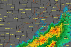
As of 5:06 pm, the severe weather threat for North/Central Alabama has pushed out of the area, but the threat continues for portions of southern and southeastern Alabama.
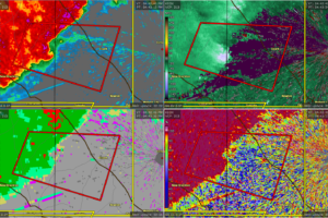
At 441 PM CDT, a severe thunderstorm capable of producing a tornado was located near Fort Rucker, moving east at 50 mph.
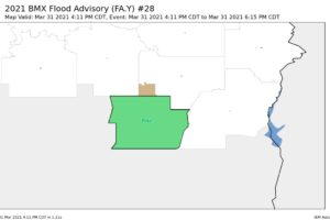
At 411 PM CDT, Doppler radar indicated heavy rain due to thunderstorms. Minor flooding is ongoing or expected to begin shortly in the advisory area.
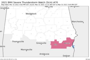
NWS Birmingham has removed Bullock, Lowndes, Montgomery, and Russell counties from the Severe Thunderstorm Watch as the threat for severe storms have passed.
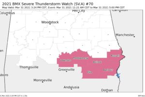
NWS Birmingham cancels the Severe Thunderstorm Watch for Lee and Macon counties as the threat for severe storms have come to an end.
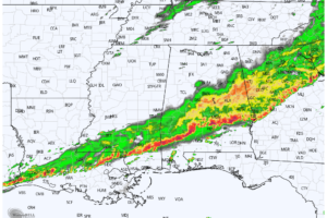
RADAR CHECK: At mid-afternoon rain has ended over North Alabama… storms continue to push into the southern counties of the state with gusty winds and heavy rain.
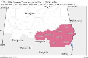
NWS Birmingham has removed the following Central Alabama counties from the Severe Thunderstorm Watch as the threat of severe storms have ended: Autauga, Chambers, Dallas, Elmore, Marengo, Tallapoosa.
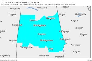
Take steps now to protect tender plants from the cold. To prevent freezing and possible bursting of outdoor water pipes they should be wrapped, drained, or allowed to drip slowly. Those that have in-ground sprinkler systems should drain them and cover above-ground pipes to protect them from freezing.
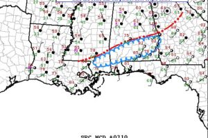
We still have a couple of more hours before the line of storms push through the rest of the area and all of North/Central Alabama will be free from the threat of severe storms.
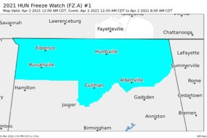
NWS Huntsville has issued a Freeze Watch that will go into effect at 12 am Friday and is set to expire at 8 am Friday for the following counties in North Alabama: Colbert, Cullman, DeKalb, Franklin, Jackson, Lauderdale, Lawrence, Limestone, Madison, Marshall, Morgan.
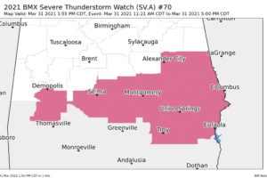
NWS Birmingham has canceled the Severe Thunderstorm Watch for the following counties in Central Alabama: Bibb, Chilton, Coosa, Greene, Hale, Perry, Sumter.