

Hot Afternoon for Central Alabama
The 11 am temperature reported at the Birmingham Shuttlesworth International Airport was 90 degrees as was Tuscaloosa, so we’ve hit another day with highs in the 90s. This string of hot days seems to have a relationship with the Energizer Bunny as they just keep rolling along. But there is an end in sight. If you are curious about the record highs for today, here is the list based on NWS climate data:
Record Highs for Sunday September 25th
Birmingham  97 set in 1921
Tuscaloosa  97 set in 1961
Anniston    96 set in 1931
Montgomery  97 set in 2010
For today, a cumulus field had developed across Alabama with a few showers showing up on radars covering South Alabama and the Gulf Coast from Dauphin Island to Apalachicola. These showers were moving slowly to the southwest thanks to a weak upper low which could be identified centered just northeast of Mobile, AL.
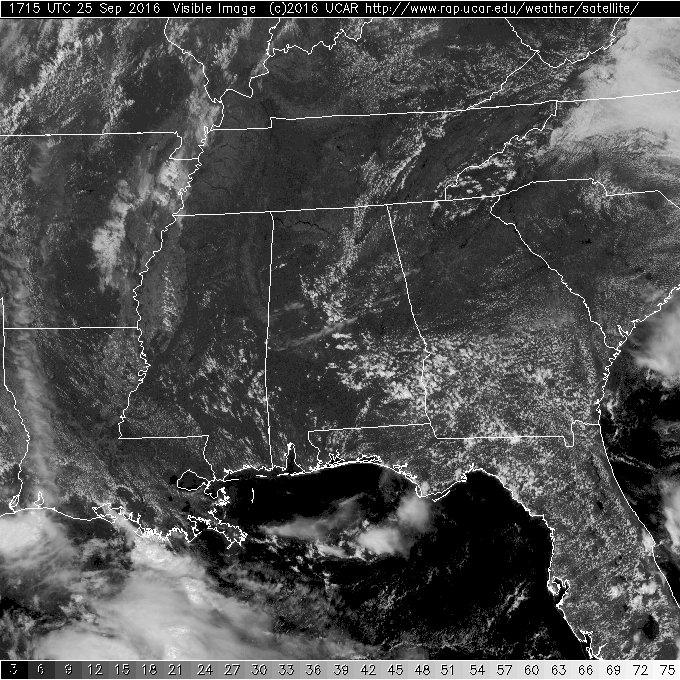
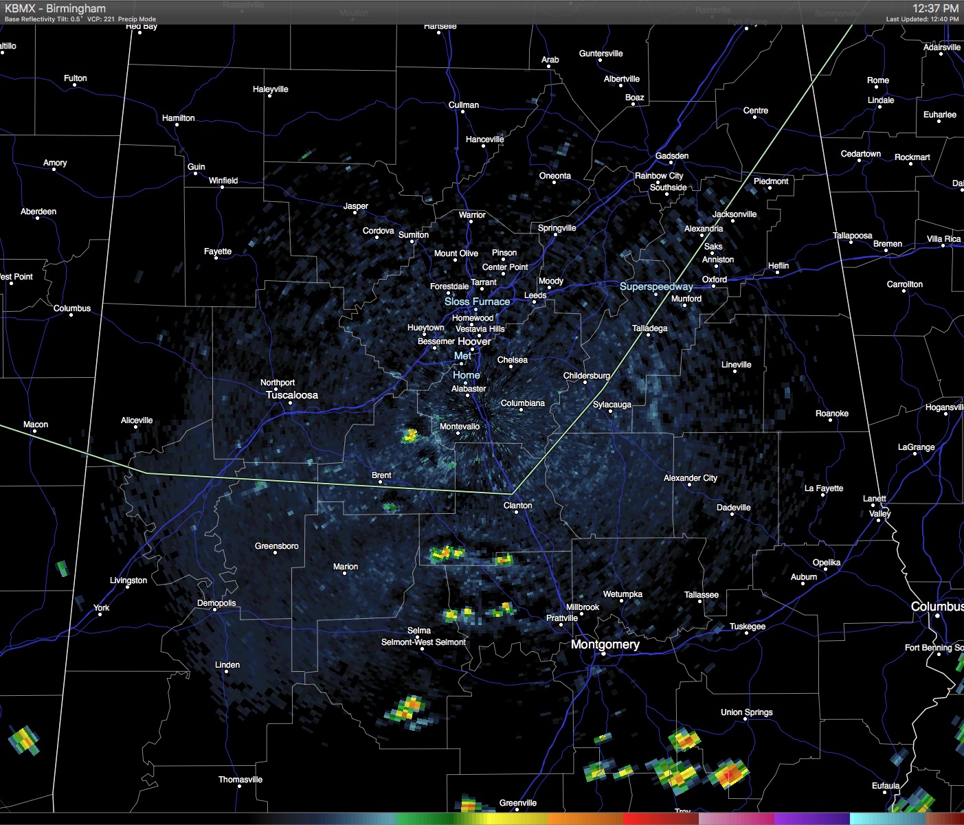
At least one or two of these showers had developed cloud-to-ground lightning. I would not be surprised to see severe thunderstorm warnings issued for a couple of these storms.
The high temperature tomorrow will have some variation across Alabama because we expect to see a cold front enter the state early tomorrow morning around daybreak. The front is projected to move steadily to the east and south reaching close to the Gulf Coast in the morning hours of Tuesday. Thanks in part to a fairly dry atmosphere with precipitable water values running in the 1.3 to 1.7 inch range, rain is not expected to be widespread or heavy. The latest QPF (Quantitative Precipitation Forecast) continued to be somewhat pessimistic on rainfall amounts with amounts likely to remain below a quarter of an inch for locations that do see rain.
And for those who may be following the tropics, the GFS continued to show the development of the area of disturbed weather currently in the extreme South Central Atlantic. But the latest GFS run now has this storm turning north across Hispaniola and remaining well east of the US coast line as it recurves on a path keeping it in the western Atlantic. But remember, you’ve heard it here many times. There simply is little skill in forecasting the specifics of this kind of event 10 to 15 days in the future.
-Brian-
Category: Alabama's Weather
About the Author (Author Profile)
Brian Peters is one of the television meteorologists at ABC3340 in Birmingham and a retired NWS Warning Coordination Meteorologist. He handles the weekend Weather Xtreme Videos and forecast discussion and is the Webmaster for the popular WeatherBrains podcast.Subscribe
If you enjoyed this article, subscribe to receive more just like it.


