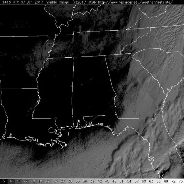
Satellite View of Snow
Often times after a winter weather event, the visible satellite imagery reveals the extent of snow. So I was anxiously waiting to view the early visible images over the Southeast US to see if our winter weather event showed up. And it does – sort of – if you look closely. Here’s the image.
So if you look closely in Central Alabama you will see a couple of small white spots. Those are the locations of where enough snow fell to be able to be seen from the geostationary satellite. Look at the image again, but turn your attention to the Memphis area from eastern Arkansas across Tennessee. That is the snow that fell there during the last couple of days.
-Brian-
Category: Alabama's Weather


