


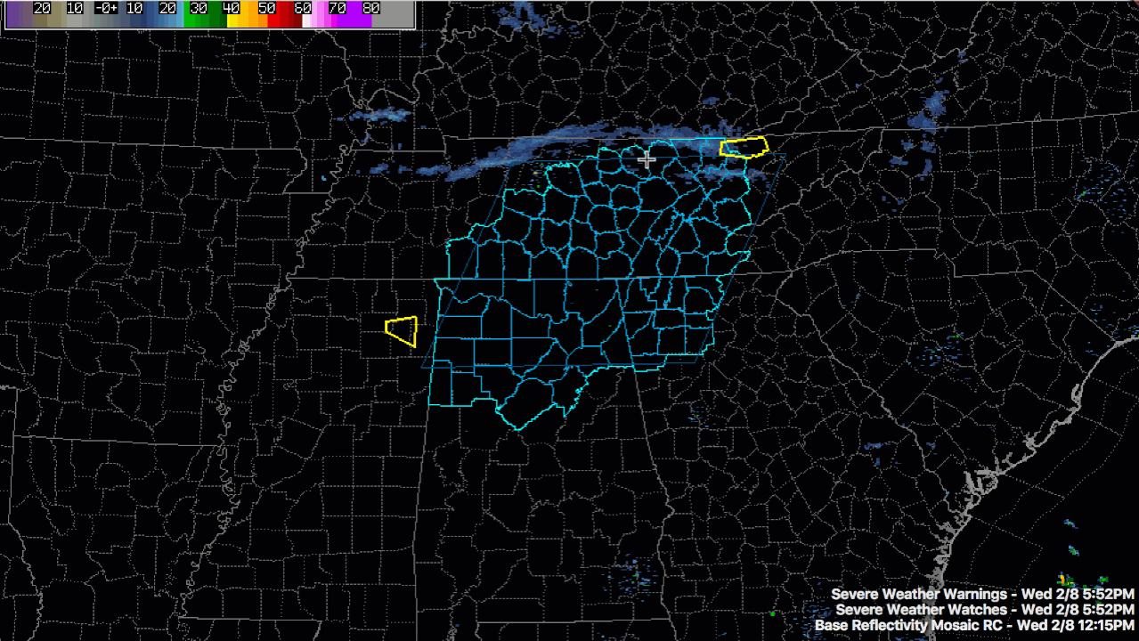
Showers and thunderstorms have developed rapidly late this afternoon in advance of a southeastward moving cold front.
A solid line of storms extends from Cookeville to Murfreesboro to Columbia and on to Lawrenceburg TN.
There is a gap back to New Albany and Fulton MS when the line is more broken back into the Mississippi Delta.
One inch hail is indicated in the storm new New Albany MS. A severe thunderstorm warning was just issued for it. The storm near Fulton will be into Marion County Alabama between 6 and 6:15 p.m.
The storm near Amory MS will be into northern Lamar County a little after 6.
There is lots of lightning already, even though the storms are not very tall. Hail will be the main problems. Damaging winds will also be a possibility. There is an outside chance of an isolated tornado.
The storms will be into Fayette and Walker Counties around 7 and Birmingham and Tuscaloosa by 8.


