


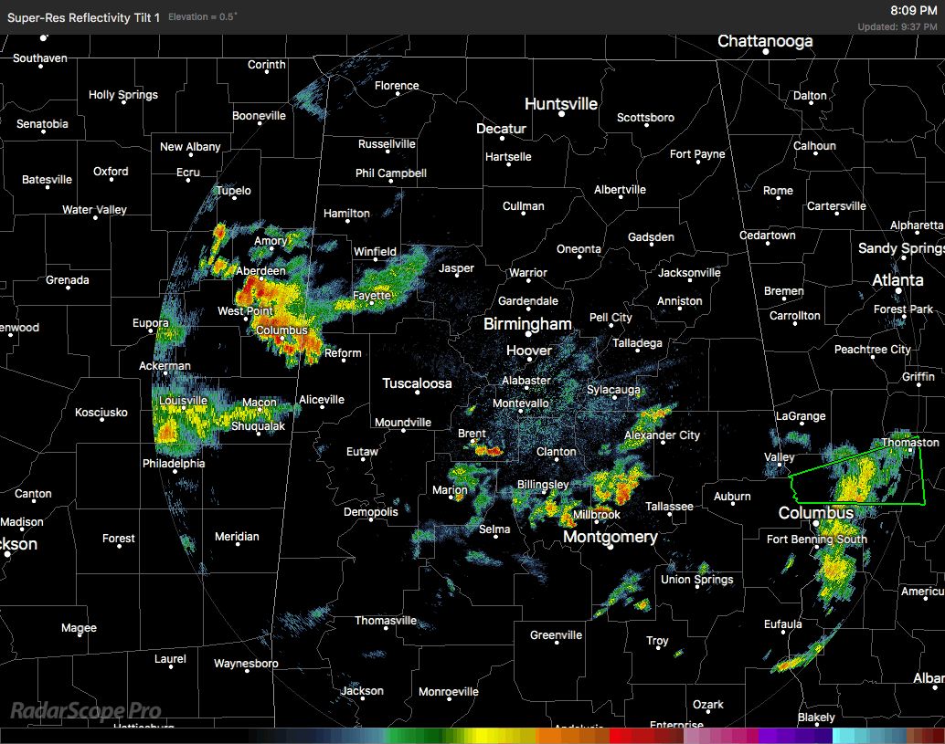
Shower activity across Central Alabama has started to diminish somewhat at this point. No one’s rainfall at this point is heavy, but there are still a few areas of light to moderate rainfall, especially over parts of Coosa, Tallapoosa, and Elmore counties, along with another area over parts of Walker, Fayette, Lamar, and Pickens counties. There are other lighter showers that are cycling in the southern parts of the area, but the heavy rainfall threat for now is over.
All Flash Flood Warnings and other advisories have been allowed to expire or have been cancelled. The Flood Warning for Village Creek was just recently cancelledabout an hour ago.
We still have a risk of scattered showers and maybe a few claps of thunder throughout the late night and overnight hours, but the better chances of these should be south of a line from Hamilton to Anniston.
Unfortunately, it looks like we’ll have to deal with another day with an increased risk of scattered to numerous showers and thunderstorms on Tuesday. The good news is that we return to a more normal summertime pattern for Wednesday, with only isolated afternoon showers or storms possible.


